Ochkhamuri
ოჩხამური | |
|---|---|
Borough | |
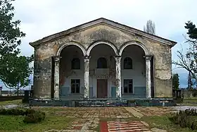 Ochkhamuri Culture House | |
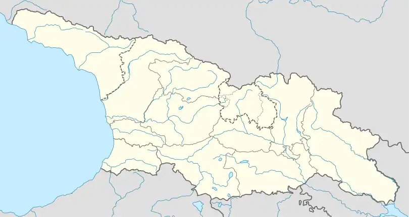 Ochkhamuri Location of Ochkhamuri in Georgia 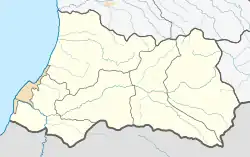 Ochkhamuri Ochkhamuri (Adjara) | |
| Coordinates: 41°51′19″N 41°50′10″E / 41.85528°N 41.83611°E | |
| Country | |
| Autonomous Republic | |
| Municipality | |
| Town from | 1954 |
| Elevation | 12 m (39 ft) |
| Population (2014) | |
| • Total | 5,355[1] |
| Time zone | UTC+4 (Georgian Time) |
Ochkhamuri (Georgian: ოჩხამური [otʃʰχamuɾi]) is a small town (daba) on the Ochkhamuri river in Adjara, Georgia, with the population of 5,355 as of the Georgian census of 2014.[1]
Geography
Ochkhamuri is located on the banks of the Ochkhamuri river, at 12 m above sea level. It is part of the Kobuleti Municipality and is situated on the administrative boundary of the Autonomous Republic of Adjara with the rest of Georgia, specifically with the region of Guria.
History
The Soviet collectivization campaign of the 1920s and 1930s made this otherwise non-notable village a part of a larger subtropical agricultural area. A tea kolkhoz farm created at Ochkhamuri triggered an influx of migrants which significantly increased the settlement's population.[2] In 1954, the village was given the status of an urban-type settlement (Georgian: daba).[3]
See also
References
- 1 2 "Population Census 2014". www.geostat.ge. National Statistics Office of Georgia. November 2014. Retrieved 28 June 2021.
- ↑ (in Russian) Jaoshvili, Vakhtang (1968), Население Грузии ("The Population of Georgia"), p. 121. Tbilisi: Metsniereba
- ↑ (in Georgian)Results of all-Georgia census of 2002: Table 15. State Department for Statistics of Georgia. Accessed on April 3, 2011
