Sagarejo
საგარეჯო | |
|---|---|
Town | |
 | |
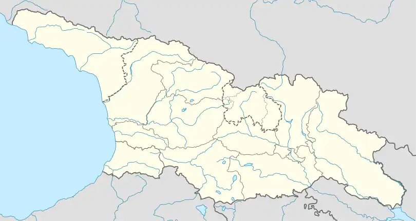
 Sagarejo Location of Sagarejo  Sagarejo Sagarejo (Kakheti) | |
| Coordinates: 41°44′00″N 45°20′00″E / 41.73333°N 45.33333°E | |
| Country | |
| Region | Kakheti |
| Municipality | |
| Town | 1962 |
| Elevation | 772 m (2,533 ft) |
| Population (January 1, 2023) | |
| • Total | 10,359 |
| Time zone | UTC+4 (Georgian Time) |
| Website | sagarejo.gov.ge |
Sagarejo (Georgian: საგარეჯო) is a town in Kakheti, Georgia. It is situated 58 kilometres (36 mi) east of Georgia's capital, Tbilisi, and has the population of 10,359 (2023 census).[1] It serves as an administrative center of Sagarejo district.
The town is traditionally considered a chief settlement of the Gare-Kakheti area (Outer Kakheti). The settlement is first mentioned in written records in the 11th century under the name of Tvali, literally meaning "an eye". Later, it came to be known as Sagarejo, i.e., "of Gareja", indicating that the area was owned by the David Gareja monastery. It acquired town status in 1962.
The fortified ruins of the ancient Ninotsminda Cathedral are located near Sagarejo.
Climate
| Climate data for Sagarejo (1991–2020) | |||||||||||||
|---|---|---|---|---|---|---|---|---|---|---|---|---|---|
| Month | Jan | Feb | Mar | Apr | May | Jun | Jul | Aug | Sep | Oct | Nov | Dec | Year |
| Record high °C (°F) | 19.7 (67.5) |
20.8 (69.4) |
25.7 (78.3) |
31.5 (88.7) |
32.3 (90.1) |
33.8 (92.8) |
37.0 (98.6) |
39.0 (102.2) |
34.5 (94.1) |
30.2 (86.4) |
26.2 (79.2) |
20.5 (68.9) |
39.0 (102.2) |
| Mean daily maximum °C (°F) | 6.1 (43.0) |
7.2 (45.0) |
11.4 (52.5) |
16.9 (62.4) |
21.8 (71.2) |
26.2 (79.2) |
28.8 (83.8) |
28.9 (84.0) |
24.1 (75.4) |
18.1 (64.6) |
11.5 (52.7) |
7.7 (45.9) |
17.4 (63.3) |
| Mean daily minimum °C (°F) | −1.4 (29.5) |
−1.2 (29.8) |
2.1 (35.8) |
6.6 (43.9) |
11.3 (52.3) |
15.4 (59.7) |
18.2 (64.8) |
18.2 (64.8) |
14.1 (57.4) |
9.2 (48.6) |
3.5 (38.3) |
0.0 (32.0) |
8.0 (46.4) |
| Record low °C (°F) | −11.5 (11.3) |
−16.0 (3.2) |
−6.4 (20.5) |
−5.9 (21.4) |
1.7 (35.1) |
6.0 (42.8) |
8.7 (47.7) |
10.7 (51.3) |
4.4 (39.9) |
−1.7 (28.9) |
−7.8 (18.0) |
−10.9 (12.4) |
−16.0 (3.2) |
| Average precipitation mm (inches) | 26.2 (1.03) |
32.1 (1.26) |
56.7 (2.23) |
97.1 (3.82) |
103.3 (4.07) |
86.2 (3.39) |
60.1 (2.37) |
50.8 (2.00) |
59.8 (2.35) |
79.4 (3.13) |
49.6 (1.95) |
30.8 (1.21) |
732.1 (28.82) |
| Average precipitation days (≥ 1.0 mm) | 5.0 | 5.8 | 8.1 | 10.3 | 11.1 | 8.4 | 5.9 | 5.6 | 6.5 | 8.4 | 6.3 | 5.1 | 86.5 |
| Source: NOAA[2] | |||||||||||||
See also
References
- ↑ "Population - National Statistics Office of Georgia". www.geostat.ge. Retrieved 2023-06-28.
- ↑ "Sagarejo Climate Normals 1991–2020". World Meteorological Organization Climatological Standard Normals (1991–2020). National Oceanic and Atmospheric Administration. Archived from the original on 3 September 2023. Retrieved 3 September 2023.
External links
This article is issued from Wikipedia. The text is licensed under Creative Commons - Attribution - Sharealike. Additional terms may apply for the media files.

