Onga
遠賀町 | |
|---|---|
Town | |
 Flag  Emblem | |
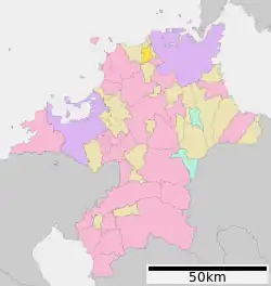 Location of Onga in Fukuoka Prefecture | |
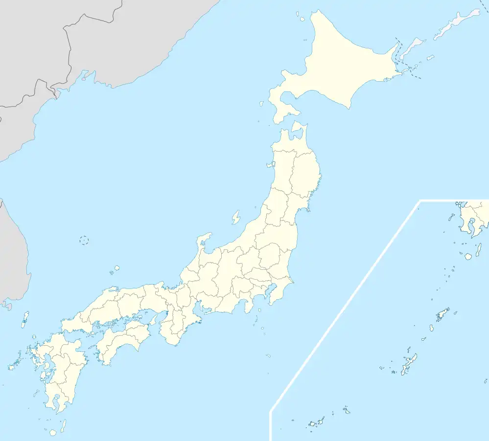 Onga Location in Japan | |
| Coordinates: 33°51′N 130°40′E / 33.850°N 130.667°E | |
| Country | Japan |
| Region | Kyushu |
| Prefecture | Fukuoka Prefecture |
| District | Onga |
| Area | |
| • Total | 22.14 km2 (8.55 sq mi) |
| Population (2016) | |
| • Total | 18,762 |
| • Density | 850/km2 (2,200/sq mi) |
| Time zone | UTC+09:00 (JST) |
| Website | www |
| Symbols | |
| Flower | Narcissus (plant) |
| Tree | Osmanthus fragrans |
Onga (遠賀町, Onga-chō) is a town located in Onga District, Fukuoka Prefecture, Japan.[1][2]
As of 2016, the town has an estimated population of 18,762 and a density of 850 persons per km2. The total area is 22.15 km2.[3]
The Onga river runs between Onga and Mizumaki, located on the other side of the river.
References
- ↑ "Lemon Tree in Japan Bears Eleven Kinds of Fruit!". InventorSpot.com. Retrieved 2022-10-22.
- ↑ "パパのため、掘ったぞ~ 遠賀町特産、焼酎の原料 サツマイモ収穫体験 来年4月新酒完成 /福岡". 毎日新聞 (in Japanese). Retrieved 2022-10-22.
- ↑ "遠賀町 | 4地域と60市町村紹介|福岡県ってどんなところ?|福岡県 移住・定住ポータルサイト 福がお~かくらし". 福岡県 移住・定住ポータルサイト 福がお~かくらし (in Japanese). Retrieved 2022-10-22.
External links
 Media related to Onga, Fukuoka at Wikimedia Commons
- Onga official website (in Japanese)
This article is issued from Wikipedia. The text is licensed under Creative Commons - Attribution - Sharealike. Additional terms may apply for the media files.