Oswego, Montana | |
|---|---|
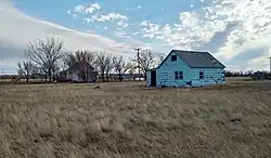 Abandoned house in Owsego Montana | |
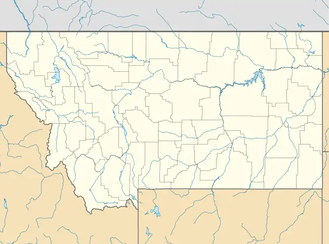 Oswego, Montana Location within the state of Montana | |
| Coordinates: 48°3′31″N 105°52′52″W / 48.05861°N 105.88111°W | |
| Country | United States |
| State | Montana |
| County | Valley |
| Elevation | 2,028 ft (618 m) |
| Time zone | UTC-7 (Mountain (MST)) |
| • Summer (DST) | UTC-6 (MDT) |
| GNIS feature ID | 774988[1] |
Oswego /ɒsˈwiːɡoʊ/ is an unincorporated community in Valley County, Montana, United States.[1] It is located along U.S. Route 2 between the cities of Frazer and Wolf Point. Oswego is located on the Fort Peck Indian Reservation.
History

Steps to a house in Oswego Montana probably burned down in 1971 in a prairie fire, never rebuilt
Settled sometime in the 1890s, the village was named after Oswego, New York, the hometown of some early-day settlers.[2] A post office was located there from 1896 until 1971. On September 11, 1971 one of the worst prairie fires in northeastern Montana destroyed much of Oswego, leaving only 4 homes untouched. The entire population of Oswego was forced to evacuate, and of those 75 residents only about 40 of them returned to live and rebuild.
References
- 1 2 3 U.S. Geological Survey Geographic Names Information System: Oswego, Montana
- ↑ Compiled and Written by the Federal Writers' Project of the Work Projects Administration for the State of Montana (1939). "Oswego, Montana". Montana: A State Guide Book. Retrieved January 27, 2007.
External links
Municipalities and communities of Valley County, Montana, United States | ||
|---|---|---|
| City | 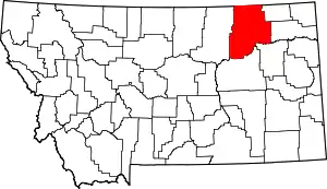 Valley County map | |
| Towns | ||
| CDPs | ||
| Other communities | ||
| Indian reservations | ||
| Ghost towns | ||
| Footnotes | ‡This populated place also has portions in an adjacent county or counties | |
This article is issued from Wikipedia. The text is licensed under Creative Commons - Attribution - Sharealike. Additional terms may apply for the media files.