Richland, Montana | |
|---|---|
 Richland, Montana  Richland, Montana | |
| Coordinates: 48°49′15″N 106°03′04″W / 48.82083°N 106.05111°W | |
| Country | United States |
| State | Montana |
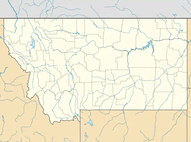
| County | Valley |
| Elevation | 2,700 ft (800 m) |
| Time zone | UTC-7 (Mountain (MST)) |
| • Summer (DST) | UTC-6 (MDT) |
| ZIP code | 59260 |
| Area code | 406 |
| GNIS feature ID | 775751[1] |
Richland is an unincorporated village in Valley County, Montana, United States. Richland is located in northeast Valley County near the Daniels County line. The community has a post office with ZIP code 59260.[2][3]
The town had a post office from 1913 to 1919. In 1926, Richland moved about 15 miles southeast to a location along a branch line of the Great Northern Railway that extended from Flaxville to Opheim.[4]
References
- ↑ "Richland". Geographic Names Information System. United States Geological Survey, United States Department of the Interior.
- ↑ United States Postal Service (2012). "USPS - Look Up a ZIP Code". Retrieved February 15, 2012.
- ↑ "Postmaster Finder - Post Offices by ZIP Code". United States Postal Service. Retrieved July 8, 2014.
- ↑ "Richey". Montana Place Names Companion. Montana Historical Society. Retrieved April 9, 2021.
Municipalities and communities of Valley County, Montana, United States | ||
|---|---|---|
| City | 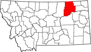 Valley County map | |
| Towns | ||
| CDPs | ||
| Other communities | ||
| Indian reservations | ||
| Ghost towns | ||
| Footnotes | ‡This populated place also has portions in an adjacent county or counties | |
This article is issued from Wikipedia. The text is licensed under Creative Commons - Attribution - Sharealike. Additional terms may apply for the media files.