Puerto Salgar | |
|---|---|
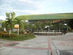
Municipality and town | |
 | |
 Flag  Seal | |
 Location of the municipality and town inside Cundinamarca Department of Colombia | |
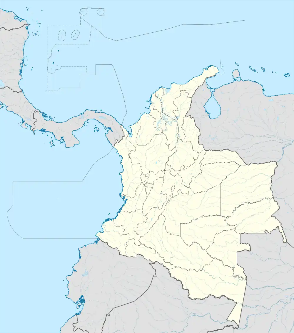 Puerto Salgar Location in Colombia | |
| Coordinates: 5°30′N 74°35′W / 5.500°N 74.583°W | |
| Country | |
| Department | |
| Area | |
| • Municipality and town | 515.9 km2 (199.2 sq mi) |
| • Urban | 1.98 km2 (0.76 sq mi) |
| Population (Census 2018[1]) | |
| • Municipality and town | 15,019 |
| • Density | 29/km2 (75/sq mi) |
| • Urban | 11,082 |
| • Urban density | 5,600/km2 (14,000/sq mi) |
| Time zone | UTC-5 (Colombia Standard Time) |
Puerto Salgar (Spanish pronunciation: [ˈpweɾto salˈɣaɾ]) is a municipality and town of Colombia in the northwestern part of the department of Cundinamarca. It came to international attention when the US ambassador in Colombia announced the Palanquero Air Base had entered a recertification process, possibly in order to host US military personnel as a replacement to the Manta Air Base. As of July 2009, negotiations were ongoing.[2]
On 29 December 2015, Puerto Salgar recorded a temperature of 45.0 °C (113.0 °F), which is the highest temperature to have ever been recorded in Colombia.[3]
References
- ↑ "Censo Nacional de Población y Vivienda 2018" (in Spanish). DANE. Retrieved 24 April 2020.
- ↑ Bajak, Frank, (Associated Press), "U.S., Colombia said to be near base access deal", Military Times, July 15, 2009.
- ↑ "Informe Técnico Diario N°364". IDEAM. 30 December 2015. Archived from the original on 29 January 2016. Retrieved 15 January 2016.
This article is issued from Wikipedia. The text is licensed under Creative Commons - Attribution - Sharealike. Additional terms may apply for the media files.