Topaipí | |
|---|---|
Municipality and town | |
.jpg.webp) | |
.svg.png.webp) Flag  Seal | |
 Location of the municipality and town inside Cundinamarca Department of Colombia | |
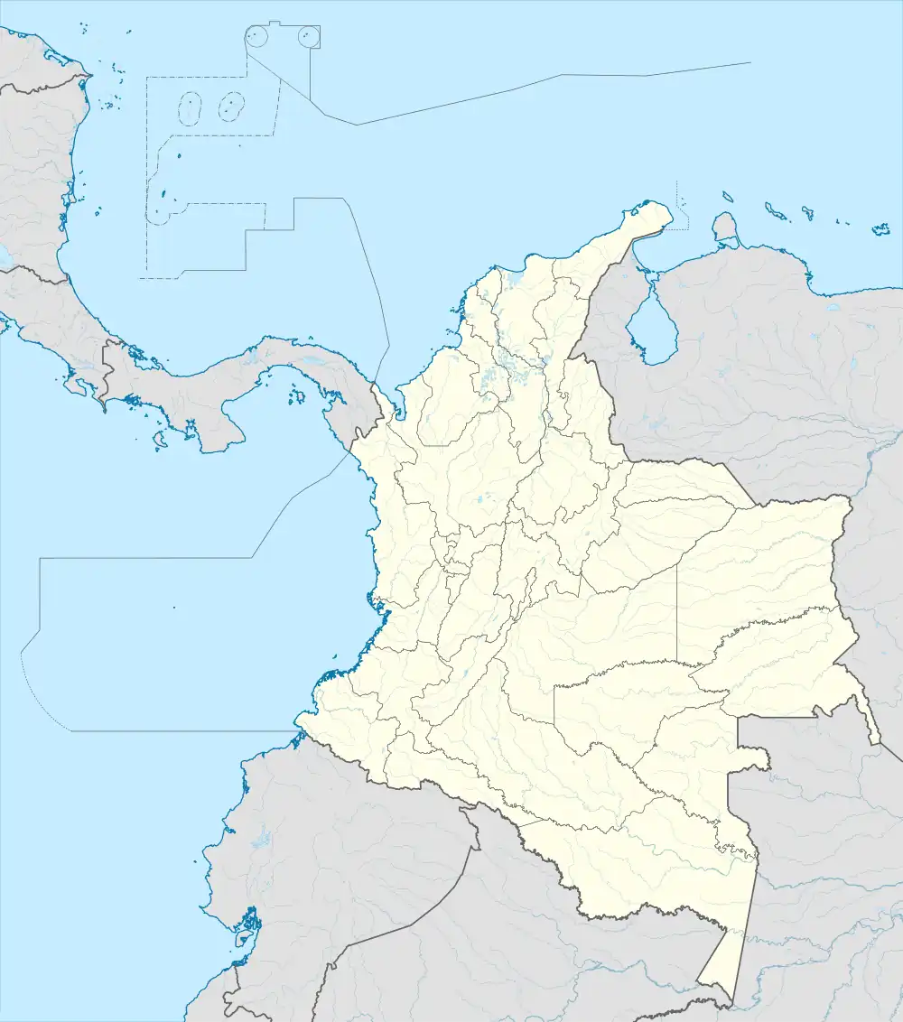 Topaipí Location in Colombia | |
| Coordinates: 5°20′N 74°18′W / 5.333°N 74.300°W | |
| Country | |
| Department | |
| Area | |
| • Total | 150 km2 (60 sq mi) |
| Elevation | 1,323 m (4,341 ft) |
| Population (2015) | |
| • Total | 4,529 |
| • Density | 30/km2 (78/sq mi) |
| Time zone | UTC-5 (Colombia Standard Time) |
Topaipí is a municipality and town of Colombia in the department of Cundinamarca.
External links
Wikimedia Commons has media related to Topaipí.
This article is issued from Wikipedia. The text is licensed under Creative Commons - Attribution - Sharealike. Additional terms may apply for the media files.