Red Lion, Delaware | |
|---|---|
 | |
 Red Lion  Red Lion | |
| Coordinates: 39°36′30″N 75°39′50″W / 39.60833°N 75.66389°W | |
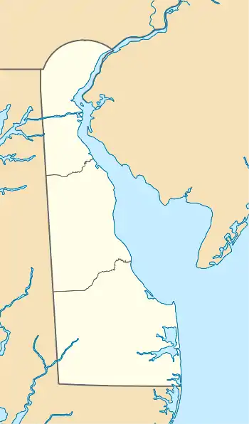
| Country | United States |
| State | Delaware |
| County | New Castle |
| Elevation | 33 ft (10 m) |
| Time zone | UTC-5 (Eastern (EST)) |
| • Summer (DST) | UTC-4 (EDT) |
| Area code | 302 |
| GNIS feature ID | 216190[1] |
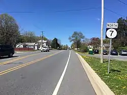
Red Lion is an unincorporated community in New Castle County, Delaware, United States.[2] Red Lion is located at the intersection of Delaware Route 7 and Delaware Route 71, northwest of Delaware City and southwest of New Castle.[3] The community takes its name from a colonial tavern.[4] and lends it name to the Red Lion Hundred.
See also
References
- ↑ "Red Lion". Geographic Names Information System. United States Geological Survey, United States Department of the Interior.
- ↑ Gannett, Henry (1904), A Gazetteer of Delaware (Issue 230 of Geological Survey bulletin), U.S. Government Printing Office
- ↑ Delaware Department of Transportation (2008). Delaware Official Transportation Map (PDF) (Map). Dover: Delaware Department of Transportation.
- ↑ brown, robin. "The backstory on odd Delaware place names". The News Journal.
External links
 Media related to Red Lion, Delaware at Wikimedia Commons

This article is issued from Wikipedia. The text is licensed under Creative Commons - Attribution - Sharealike. Additional terms may apply for the media files.