Talleyville, Delaware | |
|---|---|
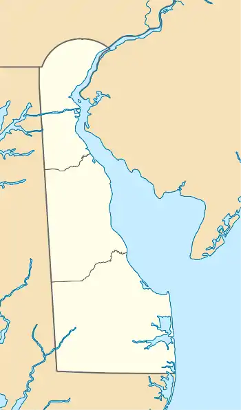
 Talleyville, Delaware Location within the state of Delaware  Talleyville, Delaware Talleyville, Delaware (the United States) | |
| Coordinates: 39°48′32″N 75°32′56″W / 39.80889°N 75.54889°W | |
| Country | United States |
| State | Delaware |
| County | New Castle |
| Elevation | 381 ft (116 m) |
| Time zone | UTC-5 (Eastern (EST)) |
| • Summer (DST) | UTC-4 (EDT) |
| ZIP code | 19803 |
| Area code | 302 |
| GNIS feature ID | 214716[1] |
Talleyville is an unincorporated community in New Castle County, Delaware, United States.[1] Talleyville is located at the intersection of U.S. Route 202, Mt. Lebanon Road, and Silverside Road to the north of Wilmington.[2][3][4] Its ZIP code is 19803.
The population of the ZCTA for ZIP code 19803 was 21,022 at the 2000 census.[5] The William Hicklen House was listed on the National Register of Historic Places in 1983.[6]
It was a distinct census-designated place for the 1990 U.S. Census.[7]
The Talleys were a prominent family in the Brandywine Hundred.[8][9]
Education
Talleyville is in the Brandywine School District.[10]
See also
- William Talley House (Wilmington, Delaware)
- Talleys Corner, Delaware
References
- 1 2 "Talleyville, Delaware". Geographic Names Information System. United States Geological Survey, United States Department of the Interior.
- ↑ "Concord Pike (US 202) Master Plan | WILMAPCO".
- ↑ Federal Writers' Project (2013), The WPA Guide to Delaware: The First State, Trinity University Press (reprint), ISBN 9781595342072
- ↑ Delaware Department of Transportation (2008). Delaware Official Transportation Map (PDF) (Map). Dover: Delaware Department of Transportation. Retrieved July 21, 2016.
- ↑ 2000 Census Data for Talleyville, Delaware 19803
- ↑ "National Register Information System". National Register of Historic Places. National Park Service. July 9, 2010.
- ↑ "1990 COUNTY BLOCK MAP (RECREATED): NEW CASTLE County" (PDF). U.S. Census Bureau. Retrieved July 4, 2021. - Talleyville is on page 3. Compare to the school boundary maps.
- ↑ "The talley family of brandywine hundred de". Daily Republican. August 16, 1879. p. 4.
- ↑ "Indigenous, European, and American Place Names of Streams and Waterways in Delaware" (PDF). udel.edu. Retrieved September 21, 2023.
- ↑ "2020 CENSUS - SCHOOL DISTRICT REFERENCE MAP: New Castle County, DE" (PDF). U.S. Census Bureau. Retrieved June 18, 2021. - Compare with the 1990 CDP map.
External links
 Media related to Talleyville, Delaware at Wikimedia Commons
This article is issued from Wikipedia. The text is licensed under Creative Commons - Attribution - Sharealike. Additional terms may apply for the media files.
