| Richtmyer Peak | |
|---|---|
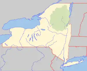
 Richtmyer Peak Location of Richtmyer Peak within New York  Richtmyer Peak Richtmyer Peak (the United States) | |
| Highest point | |
| Elevation | 2,986 feet (910 m) |
| Coordinates | 42°22′32″N 74°15′49″W / 42.3756373°N 74.2634757°W[1] |
| Geography | |
| Location | SW of West Durham, New York, U.S. |
| Topo map | USGS Livingstonville |
Richtmyer Peak is a mountain in Greene County, New York and partly in Schoharie County, New York. It is located in the Catskill Mountains southwest of West Durham. Mount Pisgah is located east, and Richmond Mountain is located southwest of Richtmyer Peak.
References
This article is issued from Wikipedia. The text is licensed under Creative Commons - Attribution - Sharealike. Additional terms may apply for the media files.