| Runton | |
|---|---|
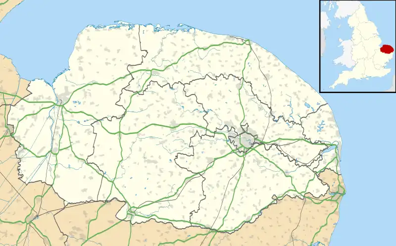 Runton Location within Norfolk | |
| Area | 5.44 km2 (2.10 sq mi) |
| Population | 1,667 (2011) |
| • Density | 306/km2 (790/sq mi) |
| OS grid reference | TG185422 |
| Civil parish |
|
| District | |
| Shire county | |
| Region | |
| Country | England |
| Sovereign state | United Kingdom |
| Post town | CROMER |
| Postcode district | NR27 |
| Police | Norfolk |
| Fire | Norfolk |
| Ambulance | East of England |
Runton is a civil parish in the English county of Norfolk consisting of the villages of East Runton and West Runton. It covers an area of 5.44 km2 (2.10 sq mi) and had a population of 1,633 in 784 households at the 2001 census,[1] the population increasing to 1,667 at the 2011 Census.[2] For the purposes of local government, it falls within the district of North Norfolk.
The name 'Runton' means either, 'Runa's farm/settlement' or 'Runi's farm/settlement'.[3]
Governance
Runton falls in the electoral ward called The Runtons. This ward stretches south to Aylmerton and had a total population at the 2011 census of 2,125.[4]
Notes
- ↑ Census population and household counts for unparished urban areas and all parishes Archived 2017-02-11 at the Wayback Machine. Office for National Statistics & Norfolk County Council (2001). Retrieved 20 June 2009.
- ↑ "Parish population 2011". Retrieved 3 September 2015.
- ↑ "Key to English Place-names".
- ↑ "The Runtons Ward population 2011". Retrieved 3 September 2015.
This article is issued from Wikipedia. The text is licensed under Creative Commons - Attribution - Sharealike. Additional terms may apply for the media files.