San | |
|---|---|
Commune and town | |
 | |
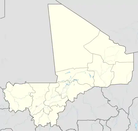
 San Location in Mali | |
| Coordinates: 13°18′N 4°54′W / 13.300°N 4.900°W | |
| Country | |
| Region | Ségou Region |
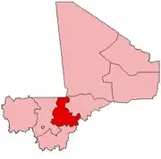
| Cercle | San Cercle |
| Area | |
| • Total | 155 km2 (60 sq mi) |
| Elevation | 279 m (915 ft) |
| Population (2009 census)[2] | |
| • Total | 68,078 |
| • Density | 440/km2 (1,100/sq mi) |
| Time zone | UTC+0 (GMT) |
San (Bambara: ߛߊߣ tr. San) is an urban commune, town and capital of the Cercle of San in the Ségou Region of Mali. The town lies 10 kilometres or 6 miles south of the Bani River. In the 2009 census the commune had a population of 68,078.
San is the center for production of bògòlanfini, a traditional Malian fabric. Former President of Mali Bah Ndaw was born here on 23 August 1950.
Climate
San has a hot semi-arid climate (Köppen BSh) with a wet season from late May to early October. Almost no rain falls during the long dry season from early October to late May, while afternoon temperatures are sweltering except in December and January, when they are merely hot in the afternoon and pleasant to warm in the mornings.
| Climate data for San climate station (284 metres or 932 feet elevation) 1991–2020 averages | |||||||||||||
|---|---|---|---|---|---|---|---|---|---|---|---|---|---|
| Month | Jan | Feb | Mar | Apr | May | Jun | Jul | Aug | Sep | Oct | Nov | Dec | Year |
| Mean daily maximum °C (°F) | 32.6 (90.7) |
36.1 (97.0) |
39.4 (102.9) |
41.4 (106.5) |
40.4 (104.7) |
37.4 (99.3) |
34.1 (93.4) |
32.1 (89.8) |
33.1 (91.6) |
36.6 (97.9) |
36.6 (97.9) |
34.0 (93.2) |
36.0 (96.8) |
| Mean daily minimum °C (°F) | 17.6 (63.7) |
20.6 (69.1) |
24.2 (75.6) |
27.8 (82.0) |
28.2 (82.8) |
26.3 (79.3) |
24.4 (75.9) |
23.6 (74.5) |
23.8 (74.8) |
24.5 (76.1) |
21.3 (70.3) |
18.3 (64.9) |
23.2 (73.8) |
| Average rainfall mm (inches) | 3.8 (0.15) |
6.1 (0.24) |
3.6 (0.14) |
8.8 (0.35) |
29.6 (1.17) |
93.6 (3.69) |
180.4 (7.10) |
242.2 (9.54) |
136.6 (5.38) |
24.1 (0.95) |
4.7 (0.19) |
0.0 (0.0) |
729.2 (28.71) |
| Average rainy days (≥ 1.0 mm) | 0.18 | 0.14 | 0.25 | 0.51 | 4.18 | 6.99 | 11.55 | 14.09 | 10.34 | 2.67 | 0.26 | 0.00 | 50.94 |
| Mean monthly sunshine hours | 276.3 | 256.3 | 288.0 | 265.0 | 264.3 | 241.5 | 234.7 | 219.7 | 247.5 | 287.6 | 284.7 | 278.3 | 3,143.9 |
| Source: Meteo Climat[3] | |||||||||||||
Twin towns
San is twinned with:
 Chaumont, Haute-Marne, France, since 1995
References
- ↑ Plan de Sécurité Alimentaire Commune Urbaine de San 2007-2011 (PDF) (in French), Commissariat à la Sécurité Alimentaire, République du Mali, USAID-Mali, 2007, archived from the original (PDF) on 2012-09-20.
- ↑ Resultats Provisoires RGPH 2009 (Région de Ségou) (PDF) (in French), République de Mali: Institut National de la Statistique.
- ↑ "Climate Normals 1991–2020". Meteo Climat. Retrieved 11 April 2021.
External links
- Massing, Andreas (1996), Democratisation et decentralisation: Relations entre structures socio-politiques traditionnelles et modernes dans la commune de San (PDF) (in French), Bamako, Mali: République du Mali. Gives the history of the town.
This article is issued from Wikipedia. The text is licensed under Creative Commons - Attribution - Sharealike. Additional terms may apply for the media files.
