| Sandhurst Melbourne, Victoria | |||||||||||||||
|---|---|---|---|---|---|---|---|---|---|---|---|---|---|---|---|
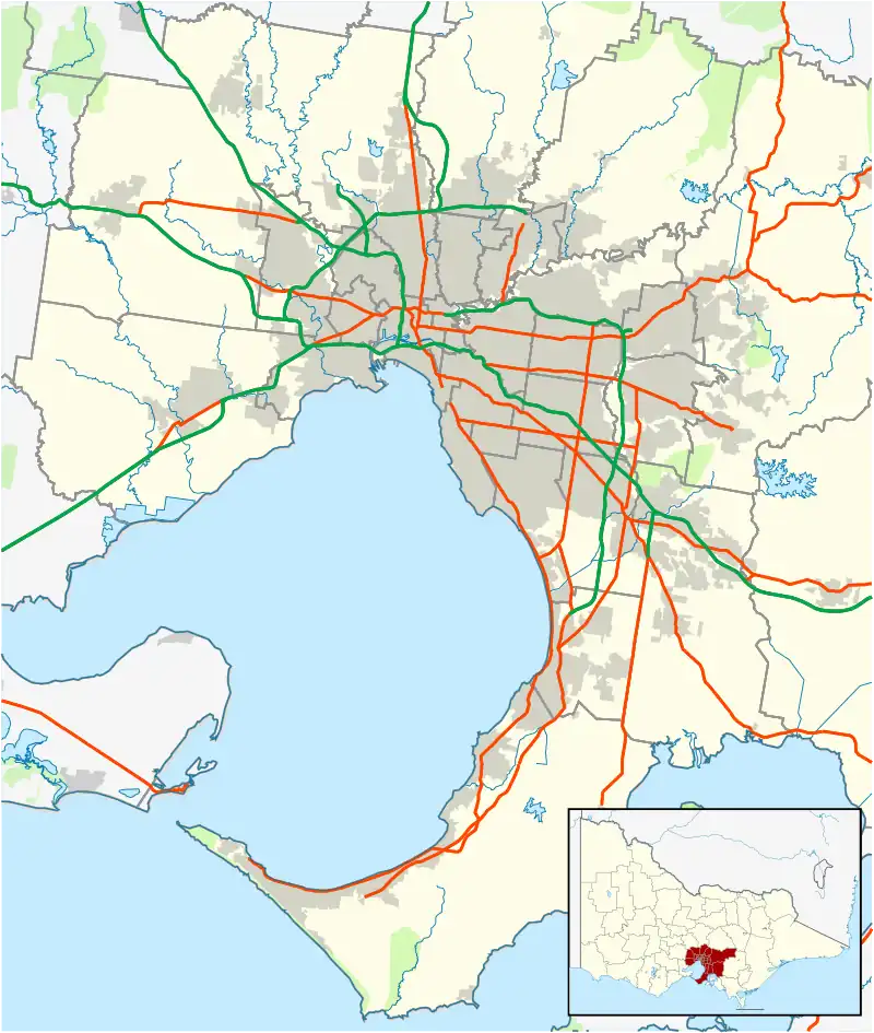 Sandhurst Location in metropolitan Melbourne | |||||||||||||||
| Coordinates | 38°04′52″S 145°12′25″E / 38.081°S 145.207°E | ||||||||||||||
| Population | 5,211 (2021 census)[1] | ||||||||||||||
| Postcode(s) | 3977 | ||||||||||||||
| Location | 37 km (23 mi) from Melbourne | ||||||||||||||
| LGA(s) | City of Frankston | ||||||||||||||
| State electorate(s) | Carrum | ||||||||||||||
| Federal division(s) | Dunkley | ||||||||||||||
| |||||||||||||||
Sandhurst is an official bounded locality in Melbourne, Victoria, Australia, 37 km south-east of Melbourne's Central Business District, located within the City of Frankston local government area. Sandhurst recorded a population of 5,211 at the 2021 census.[1]
Prior to 15 December 1994, the area now Sandhurst was part of the City of Cranbourne (formerly the Shire of Cranbourne until April 1994), and shares its postcode 3977 with Skye, Devon Meadows and Cranbourne.
Sandhurst is an estate located next to Carrum Downs and Skye. The main primary schools children attend in Sandhurst are St Joachims, Banyan Fields and Rowelen Park, and Flinders Christian Community College, all in Carrum Downs. The main secondary schools children attend in Sandhurst are Carrum Downs Secondary College and John Paul College in Frankston.
State Politics
Since the state election on 29 November 2014, The suburb of Sandhurst has been represented by Labor MP Sonya Kilkenny in Victoria's Legislative Assembly. Sandhurst falls within the Electoral district of Carrum.
See also
- City of Frankston – Sandhurst is located within this local government area.
- List of people from Frankston – notable people from the City of Frankston (including Sandhurst).
References
- 1 2 Australian Bureau of Statistics (28 June 2022). "Sandhurst (Suburbs and Localities)". 2021 Census QuickStats. Retrieved 13 July 2022.