Santana do Ipanema | |
|---|---|
Municipality | |
 Flag  Coat of arms | |
| Nickname: Princesinha do Sertão (Little Princess of the Sertão) | |
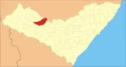 Location of Santana do Ipanema in the State of Alagoas | |
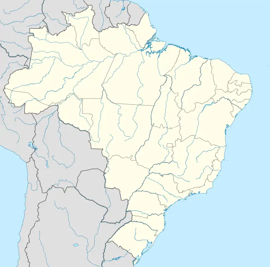 Santana do Ipanema Location in Brazil | |
| Coordinates: 09°22′40″S 37°14′42″W / 9.37778°S 37.24500°W | |
| Country | Brazil |
| State | Alagoas |
| Founded | April 24, 1875 |
| Government | |
| • Mayor | Isnaldo Bulhoes Barros (PMDB) |
| Area | |
| • Total | 437.847 km2 (169.054 sq mi) |
| Population (2020) | |
| • Total | 47,819 |
| • Density | 103.81/km2 (268.9/sq mi) |
| Demonym | santanense |
| Time zone | UTC−3 (BRT) |
| Website | Official website |
Santana do Ipanema is a municipality in the western half of the Brazilian state of Alagoas. It was founded in 1875 on the banks of the Ipanema river.
Its population was 47,819 (2020)[1] and its area is 438 km².[2]
References
Capital: Maceió | ||
| Arapiraca | 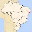 | |
| Palmeira dos Índios | ||
| Traipu | ||
| Litoral Norte Alagoano | ||
| Maceió | ||
| Mata Alagoana | ||
| Penedo | ||
| São Miguel dos Campos | ||
| Serrana dos Quilombos | ||
| Alagoana do Sertão do São Francisco | ||
| Batalha | ||
| Santana do Ipanema | ||
| Serrana do Sertão Alagoano | ||
This article is issued from Wikipedia. The text is licensed under Creative Commons - Attribution - Sharealike. Additional terms may apply for the media files.