Scale Hall | |
|---|---|
| General information | |
| Location | Lancaster, City of Lancaster, Lancashire England |
| Coordinates | 54°03′20″N 2°48′55″W / 54.0555°N 2.8154°W |
| Platforms | 2 |
| Other information | |
| Status | Disused |
| History | |
| Post-grouping | British Railways |
| Key dates | |
| 8 June 1957[1] | Opened |
| 3 January 1966[1] | Closed |
| Location | |
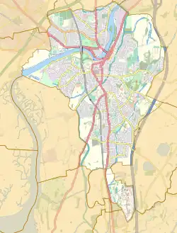
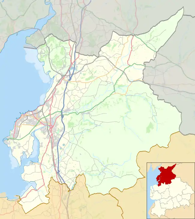
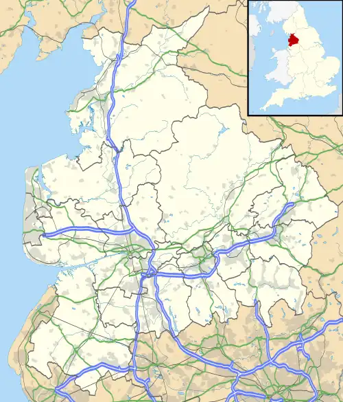
 Scale Hall Location in Lancaster  Scale Hall Location in the present-day City of Lancaster district, Lancashire  Scale Hall Location in present-day Lancashire, England | |
Scale Hall railway station served the suburb of Scale Hall in Lancaster, Lancashire, England.
The station was located near Scale Hall Lane on Morecambe Road. The station opened in 1957 and closed to passengers in 1966 with the line between Lancaster Green Ayre, and Morecambe Promenade.
The line has since been converted into a footpath. The station has been demolished. The old line can still be followed on satellite.
| Preceding station | Disused railways | Following station | ||
|---|---|---|---|---|
| Lancaster Green Ayre | British Railways | Morecambe Promenade |
References
External links
- "Tatham area railways – development and construction of the network". www.tathamhistory.org.uk.
- ""Little" North Western Railway". spellerweb.net.
- Contributors, Ewan Crawford, John Furnevel. "Scale Hall – RAILSCOT". www.railscot.co.uk.
{{cite web}}:|last=has generic name (help)CS1 maint: multiple names: authors list (link) - https://www.pastscape.org.uk/hob.aspxhob_id=498890&sort=2&type=&rational=a&class1=None&period=None&county=1306799&district=None&parish=None&place=&recordsperpage=10&source=text&rtype=&rnumber=&p=144&move=p&nor=6188&recfc=1000
- Birchill), The KDH Archive-PJBRAILWAYPHOTOS, (Peter James. "Scale Hall Station". PJBrailwayphotos Photo Gallery.
{{cite web}}: CS1 maint: multiple names: authors list (link)
This article is issued from Wikipedia. The text is licensed under Creative Commons - Attribution - Sharealike. Additional terms may apply for the media files.