Slappeterp | |
|---|---|
Village | |
 | |
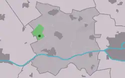 Location in Menameradiel municipality | |
 Slappeterp Location in the Netherlands 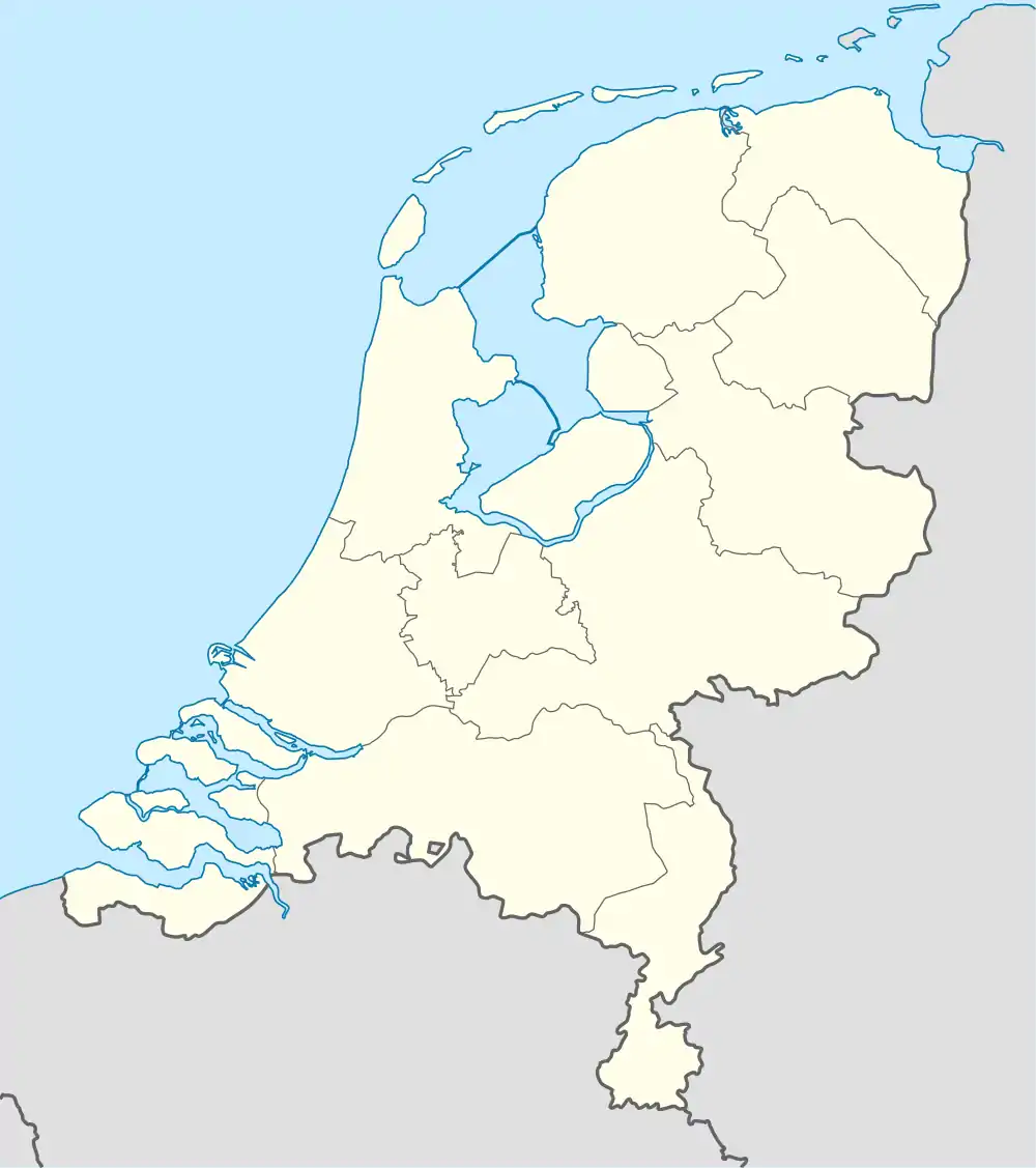 Slappeterp Slappeterp (Netherlands) | |
| Coordinates: 53°12′46″N 5°37′14″E / 53.21278°N 5.62056°E | |
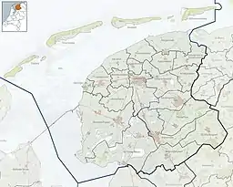
| Country | Netherlands |
| Province | Friesland |
| Municipality | Waadhoeke |
| Area | |
| • Total | 2.52 km2 (0.97 sq mi) |
| Elevation | 0.9 m (3.0 ft) |
| Population (2021)[1] | |
| • Total | 90 |
| • Density | 36/km2 (92/sq mi) |
| Postal code | 9037[1] |
| Dialing code | 0518 |
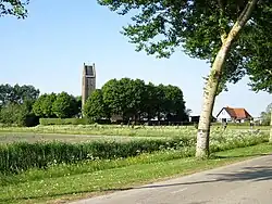
Slappeterp is a small village in Waadhoeke municipality in the province of Friesland, the Netherlands. It had a population of around 85 in January 2017.[3]
History
The village was first mentioned in the 13th century Clepesdor. The etymology is unclear.[4] Slappeterp is a terp (artificial living hill) village from the beginning of our era. It is an agricultural community. The village is connected to the Harlingertrekvaart via a canal.[5]
The Dutch Reformed church was built in 1926 as a replacement of an earlier church.[6] The church was designed by Hendrik Hendriks Kramer and has expressionistic details.[5]
Slappeterp was home to 113 people in 1840.[6] Until 2018, the village was part of the Menameradiel municipality.[6]
References
- 1 2 3 "Kerncijfers wijken en buurten 2021". Central Bureau of Statistics. Retrieved 3 April 2022.
- ↑ "Postcodetool for 9037JV". Actueel Hoogtebestand Nederland (in Dutch). Het Waterschapshuis. Retrieved 3 April 2022.
- ↑ Feiten en cijfers - Menameradiel
- ↑ "Slappeterp" (in Dutch). Retrieved 3 April 2022.
- 1 2 "Slappeterp". Friesland Wonderland (in Dutch). Retrieved 3 April 2022.
- 1 2 3 "Slappeterp". Plaatsengids (in Dutch). Retrieved 3 April 2022.
External links
 Media related to Slappeterp at Wikimedia Commons
This article is issued from Wikipedia. The text is licensed under Creative Commons - Attribution - Sharealike. Additional terms may apply for the media files.