| Slieve Corragh | |
|---|---|
| Sliabh Corrach | |
 Slieve Corragh, as seen from Slieve Commedagh | |
| Highest point | |
| Elevation | 640 m (2,100 ft)[1] |
| Coordinates | 54°11′21″N 5°57′09″W / 54.1890906°N 5.9524911°W |
| Geography | |
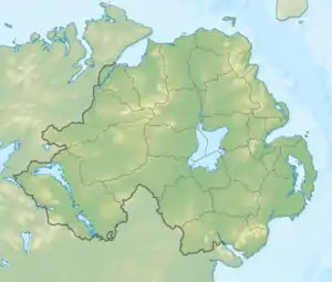
 Slieve Corragh within Northern Ireland | |
| Location | County Down, Northern Ireland |
| Parent range | Mourne Mountains |
Slieve Corragh (SLEEV KORRA; from Irish Sliabh Corrach, meaning '"rugged/pointed mountain"[2] or "sheep hill"[3]') is one of the Mourne Mountains in County Down, Northern Ireland.[1] It has a height of 640 metres (2,100 ft).[1]
Location
Slieve Corragh is one of the Mourne Mountains, and the Mourne Wall passes east–west on the mountaintop. It is part of the Slieve Commedagh massif, and Slieve Commedagh itself is placed on its east. On its west lies Slievenaglogh.
References
- 1 2 3 "Slieve Corragh". MountainViews.ie. Archived from the original on 11 February 2023.
- ↑ Paul Tempan (February 2012). "Irish Hill and Mountain Names" (PDF). Mountaineering Ireland. p. 150. Archived from the original (PDF) on 17 March 2023.
- ↑ Canon H. W. Lett (April 1906). "Names of Places in the Mountains of Mourne". Ulster Journal of Archaeology. 12 (2): 77, 85. doi:10.2307/20566277.
This article is issued from Wikipedia. The text is licensed under Creative Commons - Attribution - Sharealike. Additional terms may apply for the media files.
