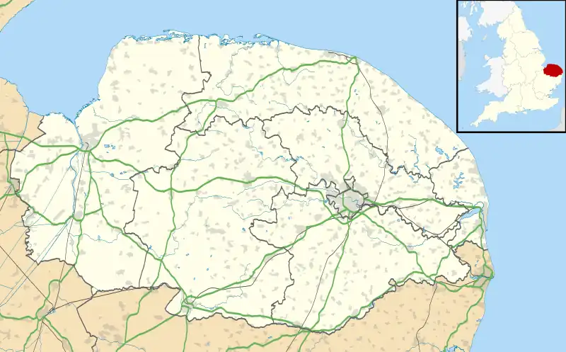
| Snetterton | |
|---|---|
 All Saints' parish church | |
 Snetterton Location within Norfolk | |
| Area | 28.03 km2 (10.82 sq mi) |
| Population | 201 (2011 Census) |
| • Density | 7/km2 (18/sq mi) |
| OS grid reference | TL994910 |
| Civil parish |
|
| District | |
| Shire county | |
| Region | |
| Country | England |
| Sovereign state | United Kingdom |
| Post town | Norwich |
| Postcode district | NR16 |
| Police | Norfolk |
| Fire | Norfolk |
| Ambulance | East of England |
| UK Parliament | |
| Website | Snetterton Parish Council |
Snetterton is a village and civil parish in Norfolk, England. The village is about 9 miles (14 km) east-northeast of Thetford and 19 miles (31 km) southwest of Norwich. The civil parish has an area of 8.94 km2 (3.45 sq mi). The 2011 Census recorded a parish population of 201 people living in 74 households.[1]
The parish is in Breckland District.[2]
History
The earliest known surviving record of the place-name is in the Domesday Book of 1086, which records it as Snentretuna. It is derived from Old English, meaning "Snytra's enclosure".[3]
The earliest part of the Church of England parish church of All Saints is the 13th-century chancel, which has a double piscina. The west tower is 14th-century, as is the bowl of the baptismal font. In the 15th century the nave was rebuilt and the north aisle and south porch were built.[4]
The north porch was added in the 19th century. The church was restored in 1852, when the nave and chancel roofs were rebuilt and a Gothic Revival chancel screen was installed. All Saints' is a Grade I listed building.[4]
Snetterton Motor Racing Circuit, formerly RAF Snetterton Heath, is partly in the parish and partly in the adjoining civil parish of Quidenham.[5]
References
- ↑ UK Census (2011). "Local Area Report – Snetterton Parish (E04006170)". Nomis. Office for National Statistics. Retrieved 12 December 2019.
- ↑ "Census population and household counts for unparished urban areas and all parishes". Office for National Statistics & Norfolk County Council. 2001. Retrieved 2 December 2005.Archived 2017-02-11 at the Wayback Machine
- ↑ Ekwall 1960, Snetterton.
- 1 2 Historic England. "Church of All Saints (Grade I) (1248425)". National Heritage List for England. Retrieved 12 December 2019.
- ↑ Norwich (Map). 1:50,000. Landranger. Ordnance Survey. 1999. § 237. ISBN 0-319-21868-6.
Further reading
- Ekwall, Eilert (1960) [1936]. Concise Oxford Dictionary of English Place-Names (4th ed.). Oxford: Oxford University Press. ISBN 0198691033.
- Pevsner, Nikolaus (1962). North-West and South Norfolk. The Buildings of England. Vol. 2. Harmondsworth: Penguin Books. p. 316. ISBN 0-14-071024-8.
External links
- Snetterton Parish Council
- Map sources for Snetterton
- Newby, Pat (2003). "Norfolk: Snetterton". Genuki.