| St. Francois State Park | |
|---|---|
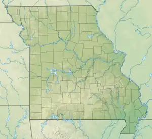 Location in Missouri  St. Francois State Park (the United States) | |
| Location | St. Francois County, Missouri, United States |
| Coordinates | 37°58′37″N 90°31′06″W / 37.97694°N 90.51833°W[1] |
| Area | 2,734.97 acres (11.0680 km2)[2] |
| Elevation | 771 ft (235 m)[1] |
| Established | 1964[3] |
| Visitors | 229,729 (in 2022)[4] |
| Governing body | Missouri Department of Natural Resources |
| Website | St. Francois State Park |
St. Francois State Park is a public recreation area occupying 2,735 acres (1,107 ha) of land five miles (8.0 km) north of Bonne Terre in St. Francois County, Missouri. The state park features a campground, trails for hiking and horseback riding, and fishing on the Big River. The 49-acre (20 ha) Coonville Creek Natural Area, made up of Coonville Creek and its narrow valley, is found within the park's boundaries.[5][6]
References
- 1 2 "Saint Francois State Park". Geographic Names Information System. United States Geological Survey, United States Department of the Interior.
- ↑ "St. Francois State Park: Data Sheet" (PDF). Missouri Department of Natural Resources. November 2017. Retrieved April 18, 2018.
- ↑ "State Park Land Acquisition Summary". Missouri State Parks. Retrieved April 18, 2018.
- ↑ "Missouri State Park Attendance For January - December, 2022" (PDF). Missouri State Parks. February 3, 2023.
- ↑ "St. Francois State Park". Missouri Department of Natural Resources. Retrieved September 9, 2014.
- ↑ "Coonville Creek Natural Area". Missouri Department of Conservation. Retrieved April 18, 2018.
External links
- St. Francois State Park Missouri Department of Natural Resources
- St. Francois State Park Map Missouri Department of Natural Resources
This article is issued from Wikipedia. The text is licensed under Creative Commons - Attribution - Sharealike. Additional terms may apply for the media files.