| Star Peak | |
|---|---|
 View of Star Peak from Milepost 157 on Interstate 80 | |
| Highest point | |
| Elevation | 9,840 ft (2,999 m) NAVD 88[1] |
| Prominence | 5,400 ft (1,646 m)[2] |
| Listing |
|
| Coordinates | 40°31′21″N 118°10′15″W / 40.522419614°N 118.17076805°W[1] |
| Geography | |
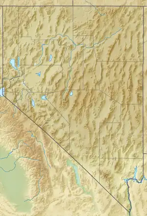 Star Peak Nevada, U.S. | |
| Location | Pershing County, Nevada, U.S. |
| Parent range | Humboldt Range |
| Topo map | USGS Star Peak |
| Climbing | |
| Easiest route | 4-wheel route followed by a one mile hike, class 1[5][6] |
Star Peak is both the highest and most topographically prominent mountain in both the Humboldt Range and Pershing County in Nevada, United States. It is the sixth-most topographically prominent peak in Nevada.[7] The peak is on public land administered by the Bureau of Land Management and has no access restrictions.[5]

360-degree panorama from the summit
See also
References
- 1 2 "Star Peak". NGS Data Sheet. National Geodetic Survey, National Oceanic and Atmospheric Administration, United States Department of Commerce. Retrieved 2015-01-22.
- ↑ "Star Peak, Nevada". Peakbagger.com. Retrieved 2016-08-10.
- ↑ "Nevada County High Points". Peakbagger.com. Retrieved 2016-08-10.
- ↑ "Great Basin Peaks Section List". Toiyabe Chapter, Sierra Club. Retrieved 2016-08-10.
- 1 2 "Star Peak". SummitPost.org. Retrieved 2015-01-22.
- ↑ "Ascent of Star Peak on 2014-06-30". Peakbagger.com. Retrieved 2016-08-10.
- ↑ "Nevada Peaks with 2000 feet of Prominence". Peakbagger.com. Retrieved 2015-01-22.
External links
- "Star Peak". Geographic Names Information System. United States Geological Survey, United States Department of the Interior.
 Media related to Star Peak (Nevada) at Wikimedia Commons
This article is issued from Wikipedia. The text is licensed under Creative Commons - Attribution - Sharealike. Additional terms may apply for the media files.