Taiynşa
Тайынша | |
|---|---|
City | |
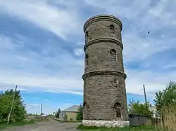 A water tower that was built in the 1920s | |
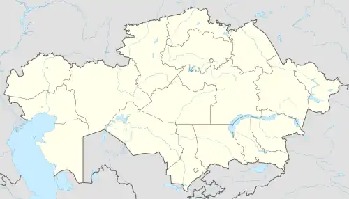 Taiynşa Location in Kazakhstan | |
| Coordinates: 53°50′52″N 69°45′50″E / 53.84778°N 69.76389°E | |
| Country | Kazakhstan |
| Region | North Kazakhstan Region |
| District | Taiynşa District |
| Rural District | Taiynşa Rural District |
| Population (2019) | |
| • Total | 11,422 |
| Time zone | UTC+6 (East Kazakhstan Time) |
| Post code | 151000, 151001 |
Taiynşa (Kazakh: Тайынша, Taiynşa), known as Krasnoarmeysk between 1962 and 1997, is a city and the administrative center of Taiynşa District in North Kazakhstan Region of Kazakhstan (KATO code - 596020100).[1] Population: 12,418 (2009 Census results);[2] 13,233 (1999 Census results).[2]
Geography
Taiynşa town lies 12 kilometers (7.5 mi) to the south of lake Shaglyteniz and 45 kilometers (28 mi) to the west of lake Kalibek.[3]
References
- ↑ Акиматы районов, г. Петропавловска (in Russian). Акимат Северо-Казахстанской области. Archived from the original on 18 May 2015. Retrieved 10 May 2015.
- 1 2 "Население Республики Казахстан" [Population of the Republic of Kazakhstan] (in Russian). Департамент социальной и демографической статистики. Retrieved 8 December 2013.
- ↑ "N-42 Topographic Chart (in Russian)". Retrieved 29 August 2022.
Capital: Petropavl | ||
| Districts |  | |
| Major cities | ||
This article is issued from Wikipedia. The text is licensed under Creative Commons - Attribution - Sharealike. Additional terms may apply for the media files.