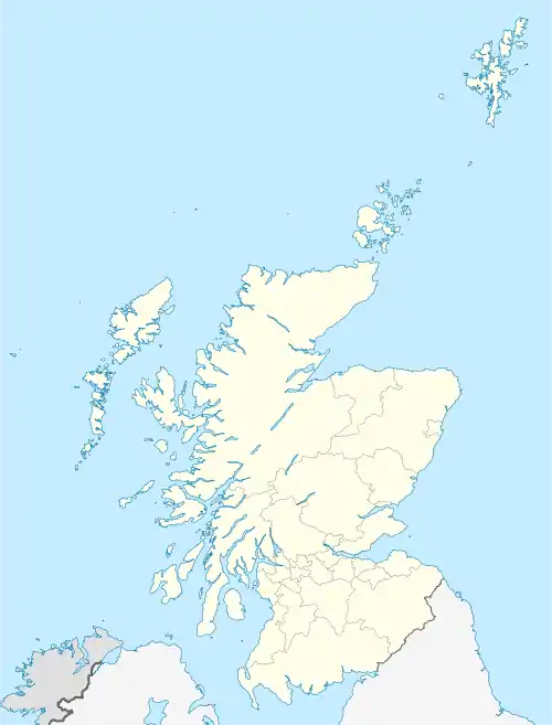
Tayvallich (pronounced TAY-vee-AL-ich; Scottish Gaelic: Taigh a' Bhealaich [t̪ʰɤj ə ˈvjal̪ˠɪç]) is a small village in the Knapdale area of Argyll and Bute, in Scotland. The village name has its origins in Gaelic, and means the "house of the pass".[1] The village is built around a sheltered harbour on Loch Sween. It has a primary school, caravan park, pub and village store. The local economy is based on tourism and fishing. There is also a local bus service that takes the older children to nearby Lochgilphead where the nearest high school is situated. Tayvallich has become a popular sailing centre. During the summer months a ferry (RIB) operates from Tayvallich to Craighouse, Jura, six days a week.[2]
Tayvallich
| |
|---|---|
| Village | |
 Tayvallich  Tayvallich | |
| Population | 300 |
| • Edinburgh | 94.55 miles (152.17km) |
| • London | 384.92 miles (619.47 km) |
| Country | Scotland |
| Sovereign state | United Kingdom |
| Post town | LOCHGILPHEAD |
| Postcode district | PA |
| Police | Scotland |
| Fire | Scottish |
| Ambulance | Scottish |
| UK Parliament | |
| Scottish Parliament | |
| Website | https://www.tayvallich.com |
Carsaig
Tayvallich is split into two areas; Carsaig and Tayvallich. Loch Sween cuts northeast into the Knapdale Peninsula and the western shore of the loch forms a smaller peninsula. Towards the north end of this peninsula an isthmus is formed about a kilometre wide and the east side has an almost landlocked bay which is where Tayvallich is located and the west side of the isthmus is Carsaig Bay. A road now links Tayvallich and Carsaig.

Notes
- ↑ Iain Mac an Tàilleir (2003). "Placenames" (PDF). Pàrlamaid na h-Alba. Archived from the original (PDF) on 29 May 2008. Retrieved 23 July 2010.
- ↑ "Jura ferry".
Further reading
- Pease, John M. (2010) Taynish: a history of the Ross estate. Argyll Publishing.
External links
56°1′38″N 5°37′10″W / 56.02722°N 5.61944°W