| Tothill | |
|---|---|
 | |
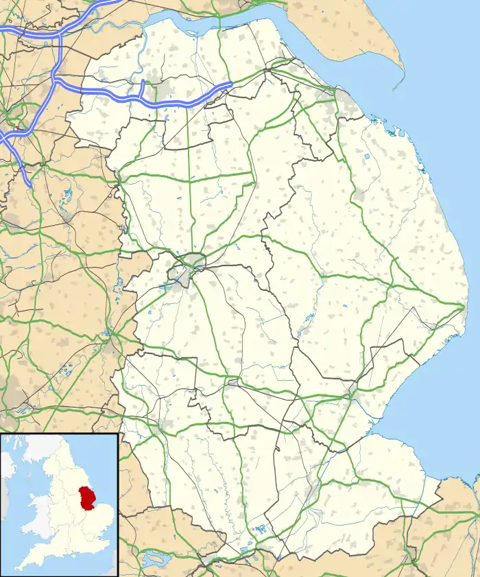
 Tothill Location within Lincolnshire | |
| OS grid reference | TF416820 |
| • London | 130 mi (210 km) S |
| Civil parish |
|
| District | |
| Shire county | |
| Region | |
| Country | England |
| Sovereign state | United Kingdom |
| Post town | Louth |
| Postcode district | LN13 |
| Police | Lincolnshire |
| Fire | Lincolnshire |
| Ambulance | East Midlands |
| UK Parliament | |
Tothill is a hamlet in the civil parish of Withern with Stain, in the East Lindsey district of Lincolnshire, England. It is situated about 6 miles (10 km) south-east from Louth, and about 5 miles (8 km) north-west from Alford. In 1971 the parish had a population of 30.[1] On 1 April 1987 the parish was abolished and merged with "Withern with Stain".[2]
Landmarks
The manor of Tothill belonged to Lord Willoughby De Broke.[3] The manor house is a Grade II listed building.[4] It was built in the 17th century, with early-18th-century refronting, and some 19th-century alteration.[4]
Toot Hill is the remains of a medieval motte and bailey castle consisting of a large mound with double-ditched outer bailey.[5] It is a Scheduled Ancient Monument.[6]
The church of Saint Mary was built in the 18th century of brick on a stone base, with a chancel, but no bellcote. It had some 18th-century alterations and was demolished in 1980.[7]
References
- ↑ "Population statistics Tothill AP/CP through time". A Vision of Britain through Time. Retrieved 22 November 2023.
- ↑ "Louth Registration District". UKBMD. Retrieved 22 November 2023.
- ↑ "Vision Of Britain". Vision Of Britain. Retrieved 29 April 2011.
- 1 2 "British Listed Buildings". British Listed Buildings. Retrieved 29 April 2011.
- ↑ Historic England. "Monument No. 355689". Research records (formerly PastScape). Retrieved 29 April 2011.
- ↑ Historic England. "Toot Hill motte and bailey castle (1016782)". National Heritage List for England. Retrieved 25 June 2017.
- ↑ Historic England. "Monument No. 520869". Research records (formerly PastScape). Retrieved 29 April 2011.