Tournefort | |
|---|---|
_-_Eglise_du_vieux_village_et_ruines.JPG.webp) The church of the old village and adjacent ruins | |
 Coat of arms | |
Location of Tournefort | |
 Tournefort 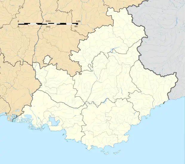 Tournefort | |
| Coordinates: 43°56′51″N 7°09′06″E / 43.9475°N 7.1517°E | |
| Country | France |
| Region | Provence-Alpes-Côte d'Azur |
| Department | Alpes-Maritimes |
| Arrondissement | Nice |
| Canton | Vence |
| Intercommunality | Métropole Nice Côte d'Azur |
| Government | |
| • Mayor (2020–2026) | Murielle Molinari[1] |
| Area 1 | 10.13 km2 (3.91 sq mi) |
| Population | 149 |
| • Density | 15/km2 (38/sq mi) |
| Time zone | UTC+01:00 (CET) |
| • Summer (DST) | UTC+02:00 (CEST) |
| INSEE/Postal code | 06146 /06710 |
| Elevation | 171–1,304 m (561–4,278 ft) (avg. 630 m or 2,070 ft) |
| 1 French Land Register data, which excludes lakes, ponds, glaciers > 1 km2 (0.386 sq mi or 247 acres) and river estuaries. | |
Tournefort (Italian: Tornaforte) is a commune in the Alpes-Maritimes department in southeastern France.
Population
| Year | Pop. | ±% |
|---|---|---|
| 1962 | 31 | — |
| 1968 | 37 | +19.4% |
| 1975 | 46 | +24.3% |
| 1982 | 46 | +0.0% |
| 1990 | 93 | +102.2% |
| 1999 | 143 | +53.8% |
| 2008 | 149 | +4.2% |
See also
References
- ↑ "Répertoire national des élus: les maires". data.gouv.fr, Plateforme ouverte des données publiques françaises (in French). 2 December 2020.
- ↑ "Populations légales 2021". The National Institute of Statistics and Economic Studies. 28 December 2023.
Wikimedia Commons has media related to Tournefort, Alpes-Maritimes.
This article is issued from Wikipedia. The text is licensed under Creative Commons - Attribution - Sharealike. Additional terms may apply for the media files.