Tourves | |
|---|---|
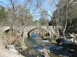 The Roman bridge in Tourves | |
.svg.png.webp) Coat of arms | |
Location of Tourves | |
 Tourves 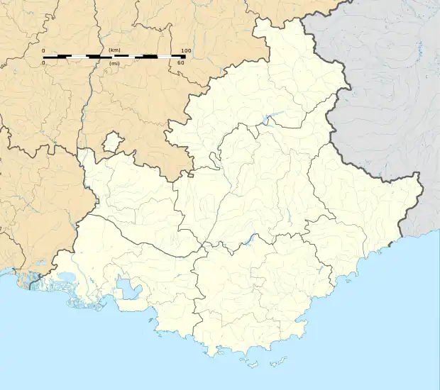 Tourves | |
| Coordinates: 43°24′32″N 5°55′29″E / 43.4089°N 5.9247°E | |
| Country | France |
| Region | Provence-Alpes-Côte d'Azur |
| Department | Var |
| Arrondissement | Brignoles |
| Canton | Brignoles |
| Intercommunality | CA Provence Verte |
| Government | |
| • Mayor (2020–2026) | Jean-Michel Constans[1] |
| Area 1 | 65.62 km2 (25.34 sq mi) |
| Population | 5,160 |
| • Density | 79/km2 (200/sq mi) |
| Time zone | UTC+01:00 (CET) |
| • Summer (DST) | UTC+02:00 (CEST) |
| INSEE/Postal code | 83140 /83170 |
| Elevation | 238–542 m (781–1,778 ft) (avg. 296 m or 971 ft) |
| 1 French Land Register data, which excludes lakes, ponds, glaciers > 1 km2 (0.386 sq mi or 247 acres) and river estuaries. | |
Tourves (French pronunciation: [tuʁv]; Occitan: Torvas) is a commune in the Var department in the Provence-Alpes-Côte d'Azur region in southeastern France.
Population
| Year | Pop. | ±% p.a. |
|---|---|---|
| 1968 | 1,648 | — |
| 1975 | 1,844 | +1.62% |
| 1982 | 2,137 | +2.13% |
| 1990 | 2,788 | +3.38% |
| 1999 | 3,428 | +2.32% |
| 2007 | 4,774 | +4.23% |
| 2012 | 4,963 | +0.78% |
| 2017 | 5,025 | +0.25% |
| Source: INSEE[3] | ||
Twin towns — sister cities
Tourves is twinned with:
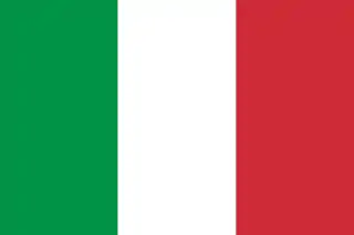 Perinaldo, Italy (1993)
See also
References
- ↑ "Répertoire national des élus: les maires" (in French). data.gouv.fr, Plateforme ouverte des données publiques françaises. 13 September 2022.
- ↑ "Populations légales 2021". The National Institute of Statistics and Economic Studies. 28 December 2023.
- ↑ Population en historique depuis 1968, INSEE
Wikimedia Commons has media related to Tourves.
This article is issued from Wikipedia. The text is licensed under Creative Commons - Attribution - Sharealike. Additional terms may apply for the media files.