Workington Bridge | |
|---|---|
| General information | |
| Location | Workington (Northside), Cumberland England |
| Coordinates | 54°38′51″N 3°32′25″W / 54.6474°N 3.5402°W |
| Grid reference | NY007291 |
| Platforms | 2[1][2][3] |
| Other information | |
| Status | Disused |
| History | |
| Original company | Cockermouth & Workington Railway |
| Pre-grouping | London and North Western Railway |
| Post-grouping | London, Midland and Scottish Railway |
| Key dates | |
| ? May 1847 | Opened |
| 1 January 1951 | Closed[4] |
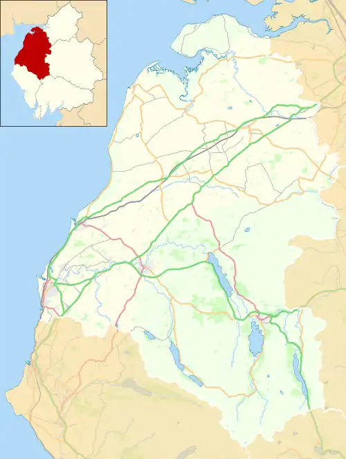
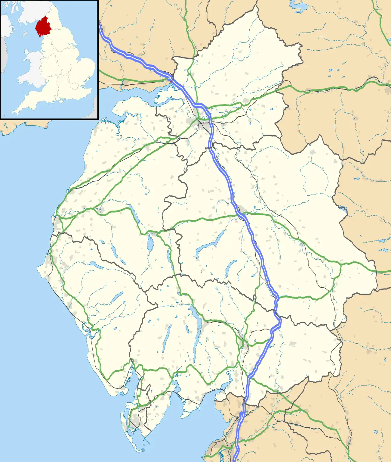
| Location | |
Railway stations in Workington | ||||||||||||||||||||||||||||||||||||||||||||||||||||||||||||||||||||||
|---|---|---|---|---|---|---|---|---|---|---|---|---|---|---|---|---|---|---|---|---|---|---|---|---|---|---|---|---|---|---|---|---|---|---|---|---|---|---|---|---|---|---|---|---|---|---|---|---|---|---|---|---|---|---|---|---|---|---|---|---|---|---|---|---|---|---|---|---|---|---|
| ||||||||||||||||||||||||||||||||||||||||||||||||||||||||||||||||||||||

Workington Bridge railway station was situated at the northern end of Workington Bridge next to the River Derwent, and was originally served by the Cockermouth and Workington Railway, later absorbed by the London and North Western Railway; the road at the north end of the bridge having to be raised to allow the railway to pass under it.[5] It served eastern Workington, Cumberland (now Cumbria), England.[6][7]
History
The railway opened on 27 April 1847, but did not originally include a station at Workington Bridge;the only intermediate stations were at Camerton and Brigham.[8] Travellers to Workington were carried into the existing station on the coast line; this was convenient for the harbour, but, as a letter to a local paper promptly pointed out, this meant a long (uphill) trudge to the market place, which could be avoided if trains stopped to let down and pick passengers at the bridge.[9] The suggestion was soon acted upon, a local paper in June 1847 containing the following paragraph:
We are glad to perceive that the letter which appeared in our columns about a month ago, addressed to the Directors of the Cockermouth and Workington Railway, pointing out the great accommodation to the public and the advantages to the company by the establishing of a station at the bridge, near Workington, has had the desired effect. The trains now stop daily at the bridge, where passengers can be booked whether intending to proceed up or down the line. The arrangement is a good one, and we have no doubt but the company will be rewarded for having adopted it - both financially and in the good opinion of the public for having shown so prompt a willingness to meet their wishes[10]
The station closed completely on 1 January 1951.
Afterlife
By 2015 the station site was obliterated. The bridge which gave the station its name had been rebuilt and had assumed greater importance after it and several neighbours were condemned or destroyed in the 2009 Workington floods.
| Preceding station | Disused railways | Following station | ||
|---|---|---|---|---|
| Camerton Line and station closed |
London and North Western Railway Cockermouth & Workington Railway |
Workington Main on Cumbrian Coast Line |
See also
References
- ↑ Marshall 1981, Opposite p.158.
- ↑ Suggitt 2008, p. 78.
- ↑ Webb 1964a, p. 678.
- ↑ Butt 1995, p. 255.
- ↑ "Bridgemaster's Report". Carlisle Patriot. 9 January 1846. p. 3.
- ↑ Smith & Turner 2012, Map 26.
- ↑ Jowett 1989, Map 36.
- ↑ "Opening of the Cockermouth and Workington Railway". Carlisle Patriot. 30 April 1847. p. 2.
- ↑ letter from 'A Shareholder' (dated 28 April 1847; the first day of normal services)"To the Directors of the Cockermouth and Workington Railway". Cumberland Pacquet, and Ware's Whitehaven Advertiser. 4 May 1847. p. 4.
- ↑ "untitled paragraph". Cumberland Pacquet, and Ware's Whitehaven Advertiser. 8 June 1847. p. 2.
Sources
- Butt, R. V. J. (October 1995). The Directory of Railway Stations: details every public and private passenger station, halt, platform and stopping place, past and present (1st ed.). Sparkford: Patrick Stephens Ltd. ISBN 978-1-85260-508-7. OCLC 60251199. OL 11956311M.
- Jowett, Alan (March 1989). Jowett's Railway Atlas of Great Britain and Ireland: From Pre-Grouping to the Present Day (1st ed.). Sparkford: Patrick Stephens Ltd. ISBN 978-1-85260-086-0. OCLC 22311137.
- Marshall, John (1981). Forgotten Railways: North West England. Newton Abbot: David & Charles. ISBN 978-0-7153-8003-1.
- Smith, Paul; Turner, Keith (2012). Railway Atlas Then and Now. Shepperton: Ian Allan Publishing. ISBN 978-0-7110-3695-6.
- Suggitt, Gordon (2008). Lost Railways of Cumbria (Railway Series). Newbury, Berkshire: Countryside Books. ISBN 978-1-84674-107-4.
- Webb, David R. (September 1964a). Cooke, B.W.C. (ed.). "Between the Solway and Sellafield: Part One". The Railway Magazine. London: Tothill Press Limited. 110 (761). ISSN 0033-8923.
Further reading
- Conolly, W. Philip (1998). British railways pre-grouping atlas and gazetteer (9th impression; 5th ed.). Shepperton: Ian Allan. ISBN 978-0-7110-0320-0. OCLC 221481275.
- Bairstow, Martin (1995). Railways In The Lake District. Martin Bairstow. ISBN 978-1-871944-11-2.
- Bowtell, Harold D. (1989). Rails through Lakeland: An Illustrated Journey of the Workington-Cockermouth-Keswick-Penrith Railway 1847-1972. Wyre: Silverling Publishing Ltd. ISBN 978-0-947971-26-7.
- Joy, David (1983). Lake Counties (Regional History of the Railways of Great Britain). Newton Abbot: David & Charles. ISBN 978-0-946537-02-0.
- McGowan Gradon, W. (2004) [1952]. The Track of the Ironmasters: A History of the Cleator and Workington Junction Railway. Grange-over-Sands: Cumbrian Railways Association. ISBN 978-0-9540232-2-5.
- Webb, David R. (October 1964b). Cooke, B.W.C. (ed.). "Between the Solway and Sellafield: Part Two". The Railway Magazine. London: Tothill Press Limited. 110 (762). ISSN 0033-8923.
- Western, Robert (2001). The Cockermouth, Keswick and Penrith Railway OL113. Usk: Oakwood Press. ISBN 978-0-85361-564-4.
External links
- Map of the line with photos RAILSCOT
- The station on an OS map surveyed in 1864 National Library of Scotland
- The station on overlain OS maps surveyed from 1898 National Library of Scotland
- The station on a 1948 OS Map npe maps
- The station Rail Map Online
- The railways of Cumbria Cumbrian Railways Association
- The station Cumbrian Railways Association
- The railways of Cumbria Railways_of_Cumbria
- Cumbrian Industrial History Cumbria Industrial History Society
- Local history of the CKPR route Cockermouth
- The line's and station's Engineer's Line References railwaycodes.org.uk
- A video tour-de-force of the region's closed lines cumbriafilmarchive
- West Cumberland Railtour 5 September 1954 sixbellsjunction

