Yūsui
湧水町 | |
|---|---|
Town | |
 Flag  Seal | |
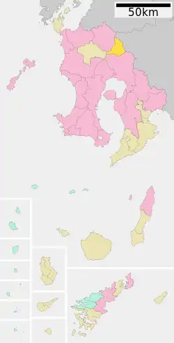 Location of Yūsui in Kagoshima Prefecture | |
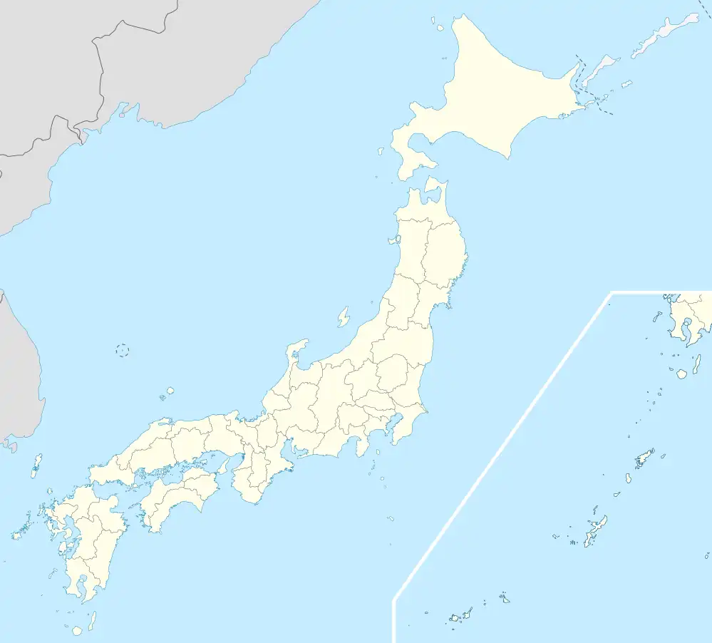 Yūsui Location in Japan | |
| Coordinates: 31°57′43″N 130°44′10″E / 31.96194°N 130.73611°E | |
| Country | Japan |
| Region | Kyushu |
| Prefecture | Kagoshima Prefecture |
| District | Aira |
| Area | |
| • Total | 144.33 km2 (55.73 sq mi) |
| Population (July 1, 2005) | |
| • Total | 12,220 |
| • Density | 85/km2 (220/sq mi) |
| Time zone | UTC+09:00 (JST) |
| Website | www |
Yūsui (湧水町, Yūsui-chō) is a town located in Aira District, Kagoshima Prefecture, Japan.[1][2]
As of September 1, 2011, the town has an estimated population of 11,420 and the density of 79.1 persons per km². The total area is 144.33 km².
The town was founded on March 22, 2005 from the merger of the towns of Kurino and Yoshimatsu, both from Aira District.
"Yūsui" literally means "spring water", referring to springs in the town.
Yūsui city hall (former office for the village of Yoshimatsu).
Geography
Culture
Transportation
References
- ↑ 鹿児島県. "湧水町". 鹿児島県 (in Japanese). Retrieved 2022-10-21.
- ↑ 日本放送協会. "鹿児島の指定避難所を一斉調査 浸水想定区域内に70か所以上|NHK 鹿児島県のニュース". NHK NEWS WEB. Retrieved 2022-10-21.
External links
 Media related to Yūsui, Kagoshima at Wikimedia Commons
- Yūsui official website (in Japanese)
This article is issued from Wikipedia. The text is licensed under Creative Commons - Attribution - Sharealike. Additional terms may apply for the media files.