| National Nature Park Zacharovanyi Krai | |
|---|---|
| Національний парк «Зачарований край» | |
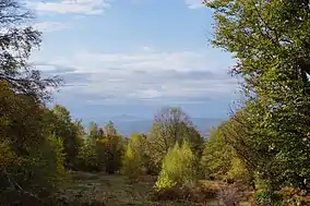
 View in Zacharovanyi Krai NNP | |
 | |
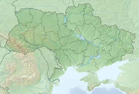
| Location | Zakarpattia Oblast, Ukraine |
| Nearest city | Irshava |
| Coordinates | 48°21′10″N 23°4′25″E / 48.35278°N 23.07361°E |
| Area | 6,101 hectares (61.01 km2) |
| Established | 2009 |
| Website | http://nppzk.info/golovna.html |
Zacharovanyi Krai National Nature Park (Ukrainian: Національний парк «Зачарований край», meaning "Enchanted Land") is one of the National Parks in Ukraine, located in Zakarpattia Oblast in the country's southwest. It was established in 2009 and covers an area of 6,101 ha (61.01 km2). The park has its headquarters in the town of Irshava, Khust Raion.[1]
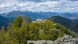
The national park contains a varied flora and fauna, including Carpathian red deer, chamois, brown bear, wild boar, European badger, Eurasian lynx, European wildcat, Eurasian beaver, trout and grayling. The park was created to preserve, reproduce and efficient use of the typical and unique natural complexes of Eastern Carpathians.

Park logo
References
- ↑ "Zacharovanyi Krai National Nature Park" (in Ukrainian). Zacharovanyi Krai NNP (Official website). Retrieved October 2, 2019.
- Географічна енциклопедія України : у 3 т. / редколегія: О. М. Маринич (відпов. ред.) та ін. — К. : «Українська радянська енциклопедія» ім. М. П. Бажана, 1989.
External links
 Media related to Category:Zacharovanyi Krai National Nature Park at Wikimedia Commons
- Указ президента України Віктора Ющенка про створення Національного природного парку «Зачарований край»
This article is issued from Wikipedia. The text is licensed under Creative Commons - Attribution - Sharealike. Additional terms may apply for the media files.
