| Aberfoyle River Balblair Creek[1] | |
|---|---|
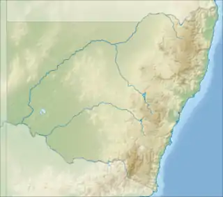 Location of the mouth 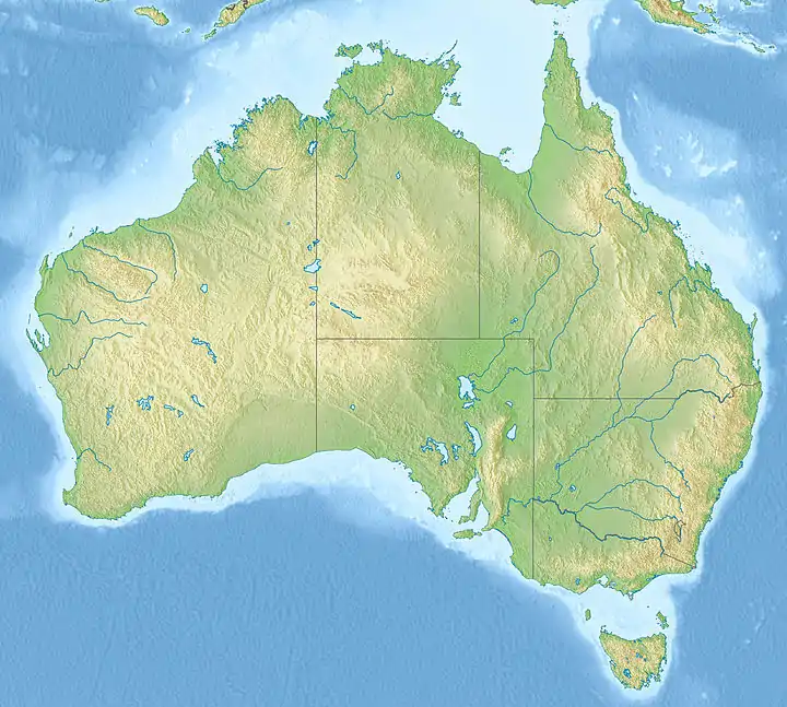 Aberfoyle River (Australia) | |
| Location | |
| Country | Australia |
| State | New South Wales |
| IBRA | New England Tablelands |
| Regions | |
| Municipality | Guyra |
| Physical characteristics | |
| Source | Great Dividing Range |
| • location | Llangothlin, north of Guyra |
| • elevation | 1,340 m (4,400 ft) |
| Mouth | confluence with the Guy Fawkes River |
• location | below Chaelundi Mountain, within Guy Fawkes River National Park |
• coordinates | 30°06′S 152°17′E / 30.100°S 152.283°E |
• elevation | 374 m (1,227 ft) |
| Length | 115 km (71 mi) |
| Basin features | |
| River system | Clarence River catchment |
| Tributaries | |
| • left | Kangaroo Hills Creek, Round Waterhole Creek |
| • right | Nowlands Backwater |
| National park | Guy Fawkes River National Park |
| [2] | |
Aberfoyle River, a watercourse[1] that is part of the Clarence River catchment, is located in the New England and Northern Tablelands districts of New South Wales, Australia.
Course and features
Aberfoyle River rises on the slopes of the Great Dividing Range, at Llangothlin, north of Guyra, and flows generally south southeast, east southeast, northeast, and east northeast, joined by three minor tributaries towards its confluence with the Guy Fawkes River, below Chaelundi Mountain, within Guy Fawkes River National Park. The river descends 971 metres (3,186 ft) over its 115 kilometres (71 mi) course.[2]
The Devils Chimney in the Aberfoyle River gorge was declared an Aboriginal Place on 8 August 1980. An Aboriginal Place is an area of special significance to Aboriginal culture and declaration provides recognition of the significance of the area and its heritage values which relate to traditions, observances, customs, beliefs or history of Aboriginal people.[3]
See also
References
- 1 2 "Aberfoyle River". Geographical Names Register (GNR) of NSW. Geographical Names Board of New South Wales. Retrieved 28 February 2013.
- 1 2 "Aberfoyle River, NSW". Bonzle Digital Atlas of Australia. Retrieved 28 February 2013.
- ↑ "Guy Fawkes River National Park, Nature Reserve and State Conservation Area: Plan of management" (PDF). NSW National Parks & Wildlife Service. NSW Department of Environment and Climate Change. January 2009. p. 11. ISBN 978-1-74232-158-5. Archived from the original (PDF) on 4 March 2016. Retrieved 1 March 2013.
River systems and rivers of the Northern Rivers catchments, New South Wales, Australia | |
|---|---|
| Tweed Shire and Tweed River | |
| Byron Shire and Brunswick River | |
| Richmond Valley and Richmond River | |
| Clarence Valley and Clarence River |
|
| Coffs Harbour, Bellingen Shire, and Bellinger River | |
| Nambucca Shire, Kempsey Shire, and Nambucca-Macleay rivers | |
| Port Macquarie-Hastings and Hastings River | |
| |