| Little Weir | |
|---|---|
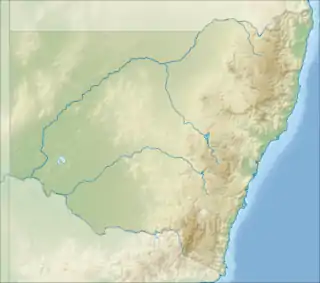
 Location of the Little Weir River mouth in New South Wales | |
| Location | |
| Country | Australia |
| States | Queensland, New South Wales |
| Region | South Downs, Orana |
| Physical characteristics | |
| Source | Barwon River |
| • location | north of Mungindi, Queensland |
| • coordinates | 28°53′14″S 149°03′20″E / 28.88722°S 149.05556°E |
| • elevation | 169 m (554 ft) |
| Mouth | confluence with the Barwon River |
• location | near Moyan, New South Wales |
• coordinates | 29°03′58″S 148°49′42″E / 29.06611°S 148.82833°E |
• elevation | 153 m (502 ft) |
| Length | 78 km (48 mi) |
| Basin features | |
| River system | Barwon River catchment, Murray–Darling basin |
| [1] | |
The Little Weir River, an anabranch of the Barwon River within the Murray–Darling basin, is located in the South Downs district of Queensland and the Orana district of New South Wales, Australia.
The river leaves Barwon River, north of Mungindi, Queensland, and flows generally south-west, before reaching its confluence with the Barwon River, near Moyan, in New South Wales; descending 16 metres (52 ft) over its 78-kilometre (48 mi) course.[1][2]
See also
References
- 1 2 "Map of Little Weir River". Bonzle Digital Atlas of Australia. Retrieved 10 February 2013.
- ↑ "Little Weir River". Geographical Names Register (GNR) of NSW. Geographical Names Board of New South Wales. Retrieved 10 February 2013.
This article is issued from Wikipedia. The text is licensed under Creative Commons - Attribution - Sharealike. Additional terms may apply for the media files.