Anorí | |
|---|---|
Municipality and town | |
 View of Anorí | |
 Flag  Seal | |
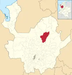
 Location of the municipality and town of Anorí in the Antioquia Department of Colombia | |
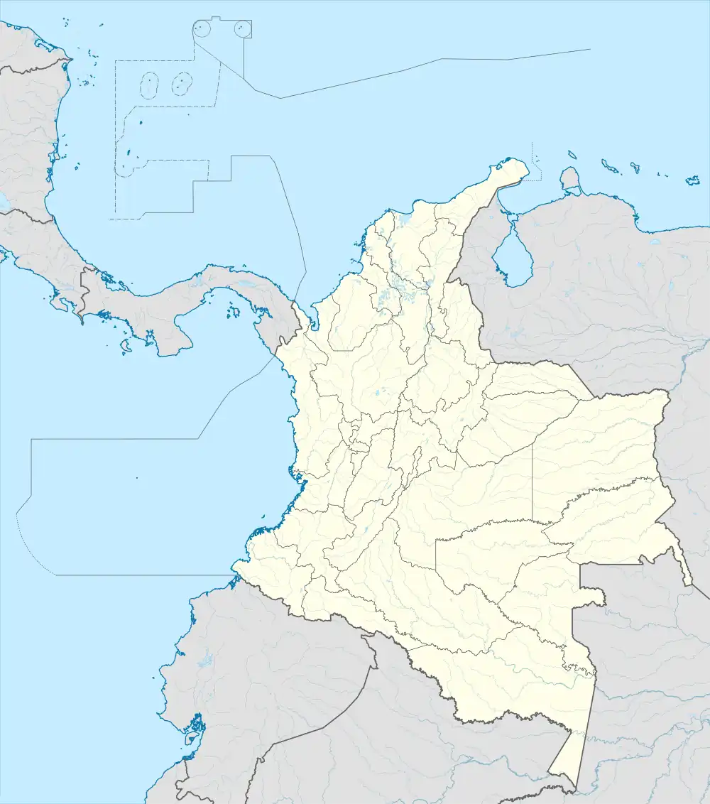
 Anorí Location in Colombia | |
| Coordinates: 7°04′25″N 75°08′45″W / 7.07361°N 75.14583°W | |
| Country | |
| Department | |
| Subregion | Northeastern |
| Area | |
| • Total | 1,430 km2 (550 sq mi) |
| Population (Census 2018[2]) | |
| • Total | 14,502 |
| • Density | 10/km2 (26/sq mi) |
| Time zone | UTC-5 (Colombia Standard Time) |
Anorí is a town and municipality in the Antioquia Department, Colombia. It is part of the subregion of Northeastern Antioquia. The cloud forest near Anorí forms the majority of the range of the endemic, critically endangered chestnut-capped piha.[3]
The population was 14,502 at the 2018 census.
References
- ↑ "Municipalities of Colombia". statoids. Retrieved 26 April 2020.
- ↑ "Censo Nacional de Población y Vivienda 2018" (in Spanish). DANE. Retrieved 26 April 2020.
- ↑ Kirwan, Guy M.; Green, Graeme (2011). Cotingas and Manakins. Princeton: Princeton University Press. p. 399. ISBN 978-0-691-15352-0.
This article is issued from Wikipedia. The text is licensed under Creative Commons - Attribution - Sharealike. Additional terms may apply for the media files.