| Bemarivo river (Sofia) | |
|---|---|
 Bemarivo river | |
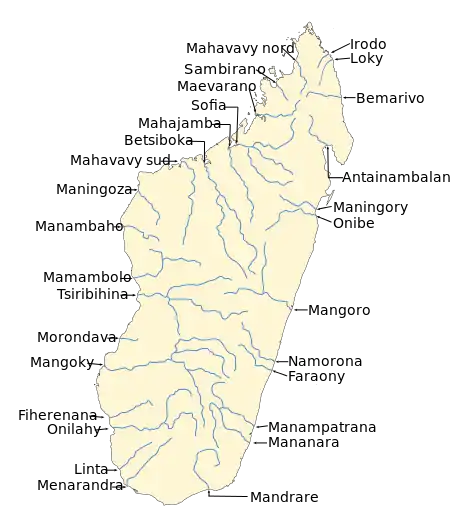 Map of Malagasy rivers (Bemarivo flows from the central-northern part to the eastern coast). | |
| Location | |
| Country | Madagascar |
| Region | Sofia |
| Physical characteristics | |
| Source | |
| • location | Antolana |
| • elevation | 1199 |
| Mouth | |
• location | Anjobony |
• coordinates | 15°30′00″S 47°40′08″E / 15.50000°S 47.66889°E |
| Length | 265 km (165 mi) |
| Basin size | 15270 km2 |
| Basin features | |
| Progression | Ambinanyndrano, Antanetilava, Mahatsinjo Ambatohararana, Mampikony, Boriziny |
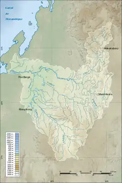
the bassin of Bemarivo & Sofia rivers
The Bemarivo river in Sofia Region (/be.mari.v/), is located in northern Madagascar. It drains to the northern coast, into the Anjobony[1] shortly before the Sofia River, near Boriziny (Port Bergé).[2]
References
This article is issued from Wikipedia. The text is licensed under Creative Commons - Attribution - Sharealike. Additional terms may apply for the media files.