| Bemarivo River | |
|---|---|
 Bemarivo river from Route Nationale 5a | |
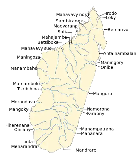 Map of Malagasy rivers (Bemarivo flows from the central-northern part to the eastern coast). | |
| Location | |
| Country | Madagascar |
| Region | Sava |
| Cities | Nosiarina, Ambinanybe, Antafiamazava |
| Physical characteristics | |
| Source | |
| • location | Mount Biempoko |
| • elevation | 2,219 m (7,280 ft) |
| Mouth | |
• location | Indian Ocean |
• coordinates | 14°08′45″S 50°09′19″E / 14.14583°S 50.15528°E |
| Length | 140 km (87 mi) |
| Basin size | 5,400 km2 (2,100 sq mi) |
| Basin features | |
| Tributaries | |
| • right | Androranga, Marerano, Anjialava River[1] |
The Bemarivo River (/be.mari.v/), literally the big shallow, is located in northern Madagascar. It drains to the north-eastern coast, into the Indian Ocean. It drains the eastern part of the Tsaratanana Massif and the northern half of the Marojejy Massif.
It is crossed by the RN 5a near Nosiarina. Its mouth is situated 17 km[2] north of Sambava.
It serves as the northern edge of the territory known as Betsimisaraka.[3] Confusingly, a tributary of the Sofia River is also called the Bemarivo River (Sofia).[4]
References
- ↑ Bemarivo descriptive
- ↑ Riviere Bemarivo-Sambava
- ↑ Helen Chapin Metz, ed., Madagascar: A Country Study, Library of Congress, 1994., accessed 14 August 2008
- ↑ Sparks, J. S. (2008). Phylogeny of the Cichlid Subfamily Etroplinae and Taxonomic Revision of the Malagasy Cichlid Genus Paretroplus (Teleostei: Cichlidae). Bulletin of the American Museum of Natural History Number 314: 1-151
This article is issued from Wikipedia. The text is licensed under Creative Commons - Attribution - Sharealike. Additional terms may apply for the media files.