| Blackstairs Mountain | |
|---|---|
| An Staighre Dubh | |
 Blackstairs Mountain | |
| Highest point | |
| Elevation | 735 m (2,411 ft) |
| Listing | Marilyn |
| Coordinates | 52°32′59″N 6°48′22″W / 52.549706°N 6.806197°W |
| Naming | |
| Language of name | Irish |
| Geography | |
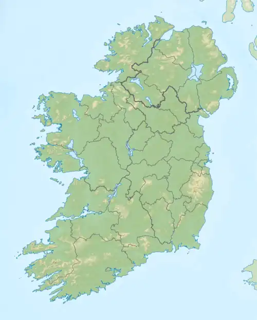
 Blackstairs Mountain Location in Ireland | |
| Location | County Carlow, County Wexford, Ireland |
| Parent range | Blackstairs Mountains |
| OSI/OSNI grid | S810448 |
| Topo map | OSi Discovery 68 |
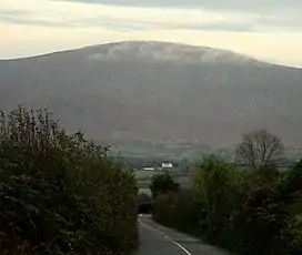
Blackstairs Mountain (Irish: An Staighre Dubh) is the second-highest mountain in the Blackstairs Mountains of southern Leinster in the Republic of Ireland. The mountain stretches from Rathgeran to Gowlin at Cathaoirs Den.
See also
This article is issued from Wikipedia. The text is licensed under Creative Commons - Attribution - Sharealike. Additional terms may apply for the media files.
