| Knocknamuck | |
|---|---|
| Cnoc na Muc | |
 Knocknamuck | |
| Highest point | |
| Elevation | 340[1] m (1,120 ft) |
| Prominence | 268[1] m (879 ft) |
| Listing | Marilyn |
| Coordinates | 52°38′43.79″N 7°31′43.79″W / 52.6454972°N 7.5288306°W |
| Naming | |
| English translation | Hill of the Pig. |
| Language of name | Irish |
| Geography | |
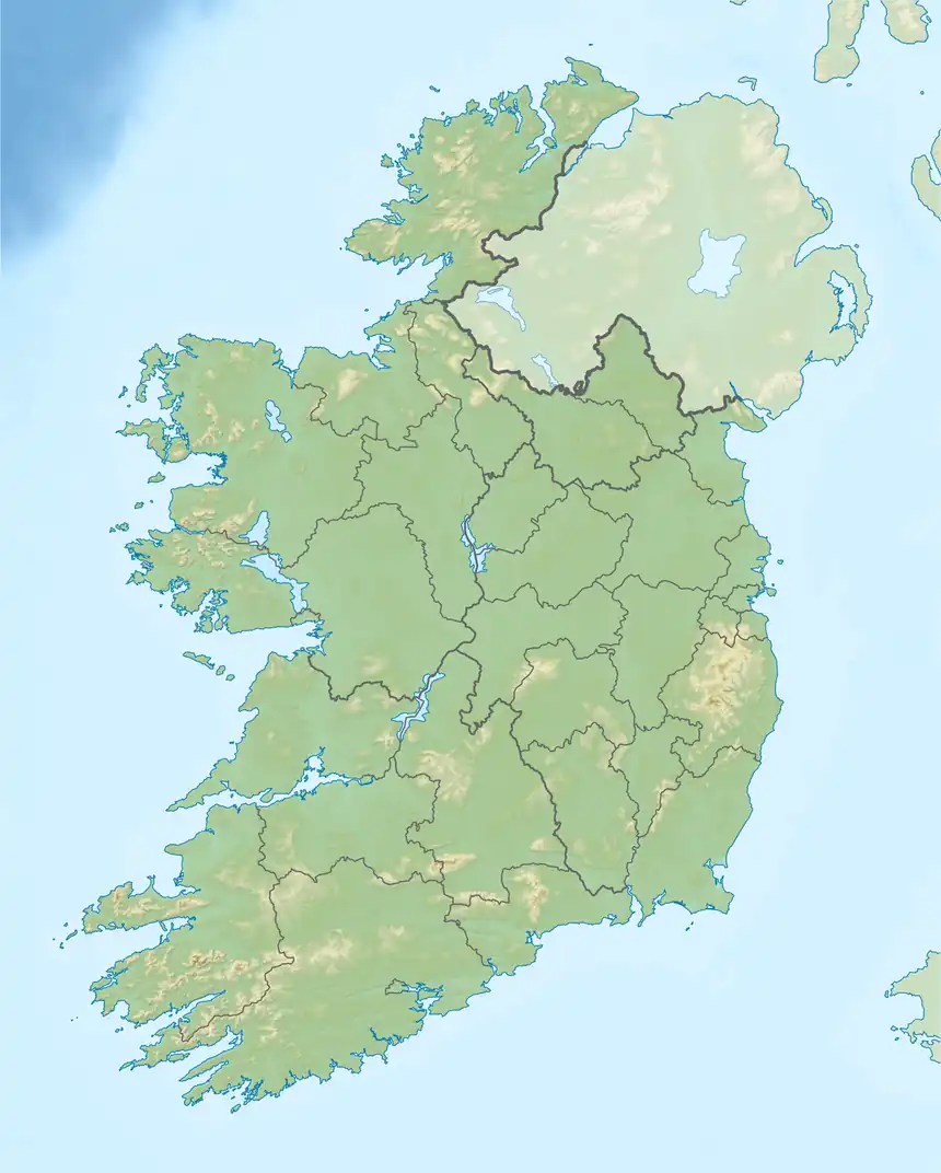
| Location | County Tipperary, Ireland |
| Parent range | Slieveardagh Hills |
| OSI/OSNI grid | M036599 |
| Topo map | OSi Discovery 67 |
Knocknamuck (Irish: Cnoc na Muc) is a mountain in County Tipperary, Ireland.
Etymology
Its name means "Hill of the Pigs".[2]
Geography
At 340 metres (1,115 ft) Knocknamuck is highest summit in the Slieveardagh Hills and the 916th highest summit in Ireland.
References
- 1 2 "South Midlands Area / Knocknamuck". MountainViews. Ordnance Survey Ireland. Retrieved 19 June 2015.
- ↑ Joyce, P. W. Irish local names explained. Dublin: M. H. Gill & Son. p. 61. Retrieved 14 December 2019 – via National Library of Scotland - Blair Collection.
See also

This article is issued from Wikipedia. The text is licensed under Creative Commons - Attribution - Sharealike. Additional terms may apply for the media files.