| Church Mountain / Slieve Gad | |
|---|---|
| Sliabh gCod / Sliabh an Chodaigh | |
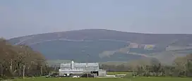
 Church Mountain from the south | |
| Highest point | |
| Elevation | 544 m (1,785 ft) |
| Prominence | 129 m (423 ft) |
| Coordinates | 53°03′12″N 6°35′09″W / 53.05334°N 6.585697°W |
| Geography | |
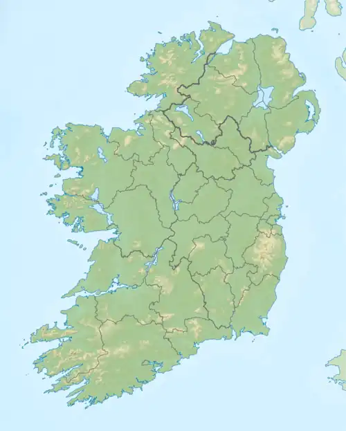
 Church Mountain / Slieve Gad Location in Ireland | |
| Location | Wicklow, Republic of Ireland |
| Parent range | Wicklow Mountains |
| OSI/OSNI grid | N948012 |
| Topo map | OSi Discovery 56 |
Church Mountain, also called Slieve Gad (Irish: Sliabh gCod / Sliabh an Chodaigh, meaning 'mountain of the covenant'), is the westernmost of the Wicklow Mountains in Ireland. It is 544 metres (1,785 ft) high. At the summit are the remains of a large ancient cairn of pagan origin. This cairn was partially destroyed and a small building, apparently a church, was built on it in the Middle Ages. Pilgrims formerly climbed the mountain during the festival of Lughnasa to visit a holy well on the summit.[1]
The mountain lies roughly halfway between Hollywood to the north and Donard to the south.
See also
References
- ↑ "Church Mountain". Mountain Views. Retrieved 15 April 2007.
53°03′12″N 6°35′13″W / 53.05334°N 6.58697°W
There is another Church Mountain in Whatcom County, Washington State, USA. It lies in the extreme northwest section of the Mount Baker-Snoqualmie National Forest north of Mount Baker. The national forest link to the trail on this Church Mountain is http://www.fs.usda.gov/wps/portal/fsinternet/!ut/p/c4/04_SB8K8xLLM9MSSzPy8xBz9CP0os3gjAwhwtDDw9_AI8zPwhQoY6BdkOyoCAPkATlA!/?ss=110605&navtype=BROWSEBYSUBJECT&cid=FSE_003853&navid=091000000000000&pnavid=null&position=BROWSEBYSUBJECT&ttype=main&pname=Mt.%20Baker-Snoqualmie%20National%20Forest-%20Home
