Bobotsari | |
|---|---|
District | |
| Other transcription(s) | |
| • Javanese | ꦧꦺꦴꦧꦺꦴꦠ꧀ꦱꦫꦶ |
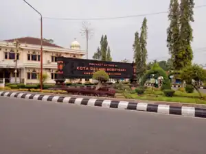
 Bobotsari town park | |
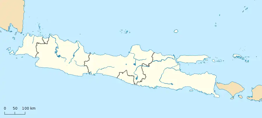
 Bobotsari Location of Bobotsari in Indonesia  Bobotsari Bobotsari (Indonesia) | |
| Coordinates: 7°18′21.1″S 109°22′05.1″E / 7.305861°S 109.368083°E | |
| Country | |
| Province | |
| Regency | Purbalingga Regency |
| Capital | Bobotsari (de jure) Gandasuli (de facto) |
| Government | |
| • District head | Ari Wibowo SSos[1] |
| Area | |
| • Total | 32.28 km2 (12.46 sq mi) |
| Population (2019 Census[2]) | |
| • Total | 55,067 |
| Time zone | UTC+7 (WIB) |
| Area code | 0281 |
| Website | kecamatanbobotsari |
Bobotsari is a town/district in Purbalingga Regency, Central Java, Indonesia. Its capital lays at the town of Bobotsari, though Gandasuli was sometimes considered the de facto capital of Bobotsari District. Bobotsari is also the second largest district town (id:Kota kecamatan) after Purbalingga in Purbalingga Regency.
Geography
Bobotsari district is bordered by Karangreja District and Karangjambu District to the north, Karanganyar District to the east, and Mrebet District to the south and west.
Villages
Bobotsari district comprises 16 villages
- Banjarsari
- Bobotsari (the capital of Bobotsari district)
- Dagan
- Gandasuli
- Gunungkarang
- Kalapacung
- Karangduren
- Karangmalang
- Karangtalun
- Limbasari
- Majapura
- Pakuncen
- Palumbungan
- Palumbungan Wetan
- Talagening
- Tlagayasa
See also
References
- ↑ Tsaniyah, Rifatuts. "Isi Kekosongan, 8 Kepala OPD di Purbalingga Dilantik Bupati, Tiwi: 'Kinerja tidak bagus, bisa digeser' - Purbalinggaku - Halaman 3". purbalingga.pikiran-rakyat.com (in Indonesian). Retrieved 2022-06-19.
- ↑ "Badan Pusat Statistik Kabupaten Purbalingga". purbalinggakab.bps.go.id. Retrieved 2022-06-19.
External links
This article is issued from Wikipedia. The text is licensed under Creative Commons - Attribution - Sharealike. Additional terms may apply for the media files.
