.jpg.webp)
Bromford Viaduct crosses Bromford Lane, part of the A4040, Birmingham's non-motorway outer ring road.
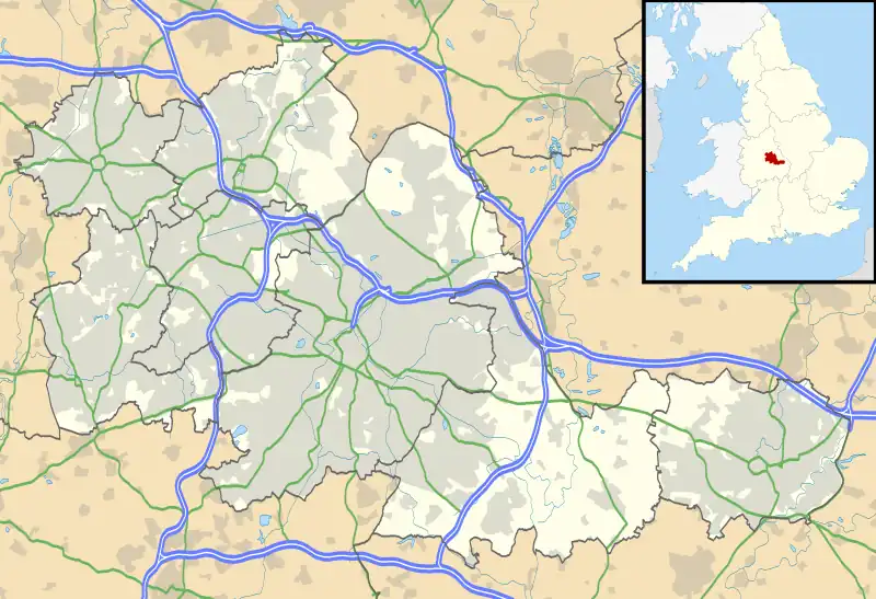
Bromford Viaduct
Location in West Midlands
.svg.png.webp)
Bromford Viaduct
Location in UK motorway network
The Bromford Viaduct carries the M6 motorway between Castle Bromwich (junction 5) and Gravelly Hill (junction 6 - Gravelly Hill Interchange) along the River Tame valley in Birmingham, England. This elevated stretch of motorway above the Tame itself is 3+1⁄2 miles (5.5 kilometres) long, which makes it the longest viaduct in Great Britain,[1] being 1⁄4 mile (400 metres) longer than the Second Severn Crossing. It was constructed during the period 1964–1972.[1]
Between 2012 and 2014, the motorway along the length of the viaduct was converted to a smart motorway system, with variable speed limits.[2]
References
- 1 2 "The Motorway Archive". Motorway Archive Trust. Archived from the original on 5 March 2016. Retrieved 14 October 2015.
- ↑ "M6 Birmingham Box Phase 3 - Road Projects - Highways Agency". Archived from the original on 14 April 2015. Retrieved 14 April 2015.
52°30′22″N 1°49′44″W / 52.506°N 1.829°W
This article is issued from Wikipedia. The text is licensed under Creative Commons - Attribution - Sharealike. Additional terms may apply for the media files.