Castel Frentano | |
|---|---|
| Comune di Castel Frentano | |
 | |
 Coat of arms | |
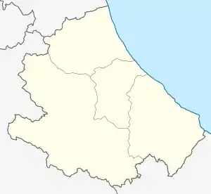
Location of Castel Frentano | |
 Castel Frentano Location of Castel Frentano in Italy  Castel Frentano Castel Frentano (Abruzzo) | |
| Coordinates: 42°12′N 14°21′E / 42.200°N 14.350°E | |
| Country | Italy |
| Region | Abruzzo |
| Province | Chieti CH) |
| Frazioni | Ciommi, Colle Ceraso, Crocetta, Feltrino, Lentesco, Pera, Pietragrossa, Porrechi, San Rocco, San Vincenzo, Trastulli |
| Government | |
| • Mayor | Patrizia De Santis Ciarrapico |
| Area | |
| • Total | 21.89 km2 (8.45 sq mi) |
| Elevation | 400 m (1,300 ft) |
| Population (1 January 2023)[2] | |
| • Total | 4,264 |
| • Density | 190/km2 (500/sq mi) |
| Demonym | Castellini |
| Time zone | UTC+1 (CET) |
| • Summer (DST) | UTC+2 (CEST) |
| Postal code | 66032 |
| Dialing code | 0872 |
| Patron saint | St. Stephen |
| Saint day | 3 August |
| Website | Official website |
Castel Frentano is a comune and town in the province of Chieti in the Abruzzo region of Italy.
During World War II, the town was liberated by the New Zealand Army (2nd New Zealand Division) on 2 December 1943.
It is known for bocconotto, a typical dessert.

Santo Stefano Protomartire, a building in the town
Main sights
- Church of St. Stephen, built in the late 13th and early 14th century, but rebuilt in the 18th century in neo-Classicist style
- Church of Santa Maria della Selva
- Church of San Rocco
- Palazzo Vergilj
- Palazzo Crognale
- 14th century defensive walls
References
- ↑ "Superficie di Comuni Province e Regioni italiane al 9 ottobre 2011". Italian National Institute of Statistics. Retrieved 16 March 2019.
- ↑ "Popolazione Residente al 1° Gennaio 2018". Italian National Institute of Statistics. Retrieved 16 March 2019.
External links
Wikimedia Commons has media related to Castel Frentano.
This article is issued from Wikipedia. The text is licensed under Creative Commons - Attribution - Sharealike. Additional terms may apply for the media files.