Montelapiano | |
|---|---|
| Comune di Montelapiano | |
 View of Montelapiano | |
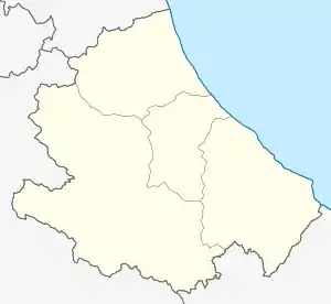
Location of Montelapiano | |
 Montelapiano Location of Montelapiano in Italy  Montelapiano Montelapiano (Abruzzo) | |
| Coordinates: 41°58′N 14°21′E / 41.967°N 14.350°E | |
| Country | Italy |
| Region | Abruzzo |
| Province | Chieti (CH) |
| Frazioni | Civitaluparella, Fallo, Montebello sul Sangro, Villa Santa Maria |
| Area | |
| • Total | 8 km2 (3 sq mi) |
| Elevation | 740 m (2,430 ft) |
| Population (2008)[2] | |
| • Total | 88 |
| • Density | 11/km2 (28/sq mi) |
| Demonym | Montelapianesi |
| Time zone | UTC+1 (CET) |
| • Summer (DST) | UTC+2 (CEST) |
| Postal code | 66040 |
| Dialing code | 0872 |
| ISTAT code | 069053 |
| Saint day | 18 August |
| Website | Official website |
Montelapiano is a comune and town in the Province of Chieti in the Abruzzo region of Italy. It is the smallest non alpine commune (not belonging to the regions of Piedmont, Valle d'Aosta, Lombardy, Veneto, Trentino-Alto Adige/Südtirol or Friuli Venezia Giulia) in Italy by population.[3]
References
Wikimedia Commons has media related to Montelapiano.
- ↑ "Superficie di Comuni Province e Regioni italiane al 9 ottobre 2011". Italian National Institute of Statistics. Retrieved 16 March 2019.
- ↑ All demographics and other statistics from the Italian statistical institute (Istat)
- ↑ it:Ultimi 100 comuni italiani per popolazione
This article is issued from Wikipedia. The text is licensed under Creative Commons - Attribution - Sharealike. Additional terms may apply for the media files.