Catuípe | |
|---|---|
Municipality | |
 Flag  Coat of arms | |
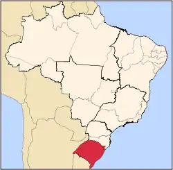
 Location in Rio Grande do Sul state | |
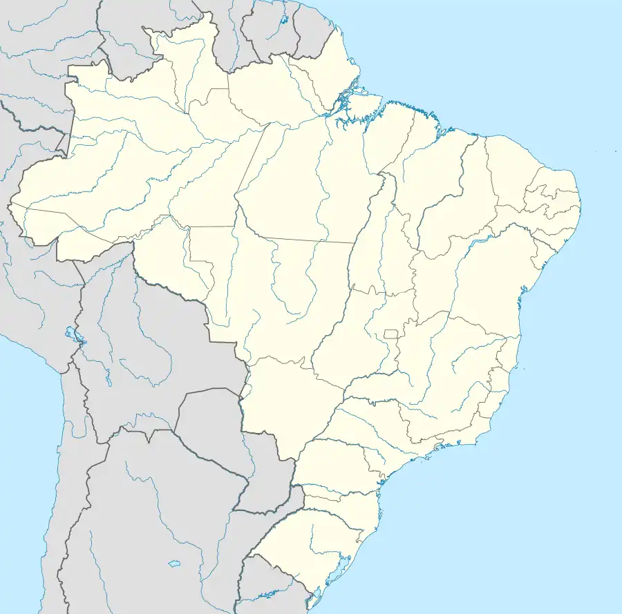 Catuípe Location in Brazil | |
| Coordinates: 28°15′0″S 54°0′43″W / 28.25000°S 54.01194°W | |
| Country | |
| State | Rio Grande do Sul |
| Micro-region | Santo Ângelo |
| Area | |
| • Total | 583.26 km2 (225.20 sq mi) |
| Population (2020 [1]) | |
| • Total | 8,701 |
| • Density | 15/km2 (39/sq mi) |
| Time zone | UTC−3 (BRT) |
| Website | www |
Catuípe is a municipality of the western part of the state of Rio Grande do Sul, Brazil. The population is 8,701 (2020 est.) in an area of 583.26 km².[2] Its nickname is Land of Spring Water for the springs located around the municipality. It is located 419 km west of the state capital of Porto Alegre, northeast of Alegrete.
Bordering municipalities
References
External links
This article is issued from Wikipedia. The text is licensed under Creative Commons - Attribution - Sharealike. Additional terms may apply for the media files.