Chorteppa | |
|---|---|
Village and Jamoat | |
 Chorteppa | |
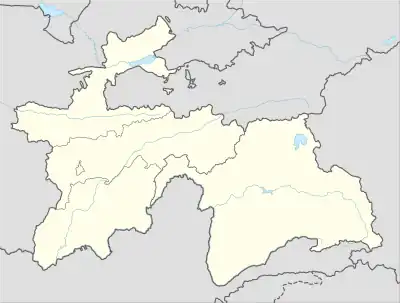
| Coordinates: 38°33′N 68°42′E / 38.550°N 68.700°E | |
| Country | |
| Region | Districts of Republican Subordination |
| District | Rudaki District |
| Population (2015) | |
| • Total | 32,076 |
| Time zone | UTC+5 (TJT) |
Chorteppa is a village and jamoat in Tajikistan. It is located in Rudaki District, one of the Districts of Republican Subordination. The jamoat has a total population of 32,076 (2015).[1]
References
- ↑ Jamoat-level basic indicators, United Nations Development Programme in Tajikistan, accessed 13 October 2020
Capital: Dushanbe | |||||||||||||||||||||||
|  | ||||||||||||||||||||||
|
| |||||||||||||||||||||||
| |||||||||||||||||||||||
| |||||||||||||||||||||||
This article is issued from Wikipedia. The text is licensed under Creative Commons - Attribution - Sharealike. Additional terms may apply for the media files.