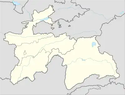
Hakimi
Ҳакимӣ | |
|---|---|
Village and Jamoat | |
 Hakimi | |
| Coordinates: 38°49′N 69°51′E / 38.817°N 69.850°E | |
| Country | |
| Region | Districts of Republican Subordination |
| District | Nurobod District |
| Population (2015) | |
| • Total | 13,666 |
| Time zone | UTC+5 (TJT) |
Hakimi (Tajik: Ҳакимӣ, Persian: حکیمی) is a village and jamoat in Tajikistan. It is located in Nurobod District, one of the Districts of Republican Subordination. The jamoat has a total population of 13,666 (2015).[1] Villages: Aligalabon, Darai Tag, Dukak Kaskon, Kofara, Khumrogh, Layron, Maydoni Seb, Obi Boriki Bolo, Obi Boriki Poyon, Sadoqat, Sarizakob, Saripulak, Safedoron, Siyohgulak, Tagi Kamar, Chorsada, Shohtuti Bolo, Shohtuti Poyon, Hakimii Bolo, Hakimii Poyon, Hakimii Miyona, Hasandara, Javchii Bolo, Javchii Poyon.
References
- ↑ Jamoat-level basic indicators, United Nations Development Programme in Tajikistan, accessed 14 October 2020
This article is issued from Wikipedia. The text is licensed under Creative Commons - Attribution - Sharealike. Additional terms may apply for the media files.
