Eduardo Falla Solano Airport Aeropuerto Nacional Eduardo Falla Solano | |||||||||||
|---|---|---|---|---|---|---|---|---|---|---|---|
| Summary | |||||||||||
| Airport type | Public | ||||||||||
| Owner | Aerocivil | ||||||||||
| Serves | San Vicente del Caguán, Colombia | ||||||||||
| Elevation AMSL | 883 ft / 269 m | ||||||||||
| Coordinates | 2°09′05″N 74°45′55″W / 2.15139°N 74.76528°W | ||||||||||
| Map | |||||||||||
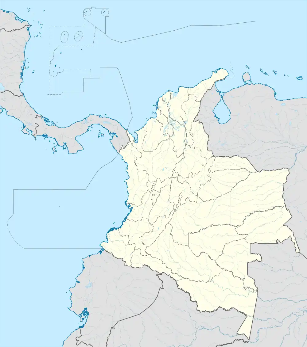
 SVI Location of airport in Colombia | |||||||||||
| Runways | |||||||||||
| |||||||||||
Eduardo Falla Solano Airport (IATA: SVI, ICAO: SKSV) in Spanish: Aeropuerto Eduardo Falla Solano is a domestic airport serving the municipality of San Vicente del Caguán in the Caquetá Department of Colombia.
The runway is 4 kilometres (2.5 mi) north of the airport. The San Vicente Del Caguan VOR-DME (Ident: SVC) and non-directional beacon (Ident: SVC) are located on the field.[3][4]
Airlines and destinations
| Airlines | Destinations |
|---|---|
| SATENA | Araracuara, Bogotá |
Accidents and incidents
On 17 October 1971, Douglas C-47A HK-595 of Aerolíneas TAO[5] crashed on take-off, killing 19 of 21 people on board. The aircraft was operating a domestic non-scheduled passenger flight although it was only certified to carry freight and three crew. It was also overloaded by 311 kilograms (686 lb).[6]
See also
References
- ↑ Airport information for SVI at Great Circle Mapper.
- ↑ Google Maps - San Vicente
- ↑ San Vincente VOR
- ↑ SkyVector - San Vicente NDB
- ↑ TAO Airlines closed
- ↑ "HK-595 Accident description". Aviation Safety Network. Retrieved 28 April 2021.
External links
- OpenStreetMap - San Vicente
- OurAirports - San Vicente
- FallingRain - San Vicente Airport
- Accident history for SVI at Aviation Safety Network
This article is issued from Wikipedia. The text is licensed under Creative Commons - Attribution - Sharealike. Additional terms may apply for the media files.