Guaymaral Airport Chia-Guaymaral Airport Faminio Suárez Camacho Airport | |||||||||||||||
|---|---|---|---|---|---|---|---|---|---|---|---|---|---|---|---|
| Summary | |||||||||||||||
| Airport type | Civil, Military | ||||||||||||||
| Operator | Colombian government | ||||||||||||||
| Serves | Chía, Bogotá, Colombia | ||||||||||||||
| Elevation AMSL | 8,390 ft / 2,557 m | ||||||||||||||
| Coordinates | 4°48′45″N 74°03′55″W / 4.81250°N 74.06528°W | ||||||||||||||
| Website | www | ||||||||||||||
| Map | |||||||||||||||
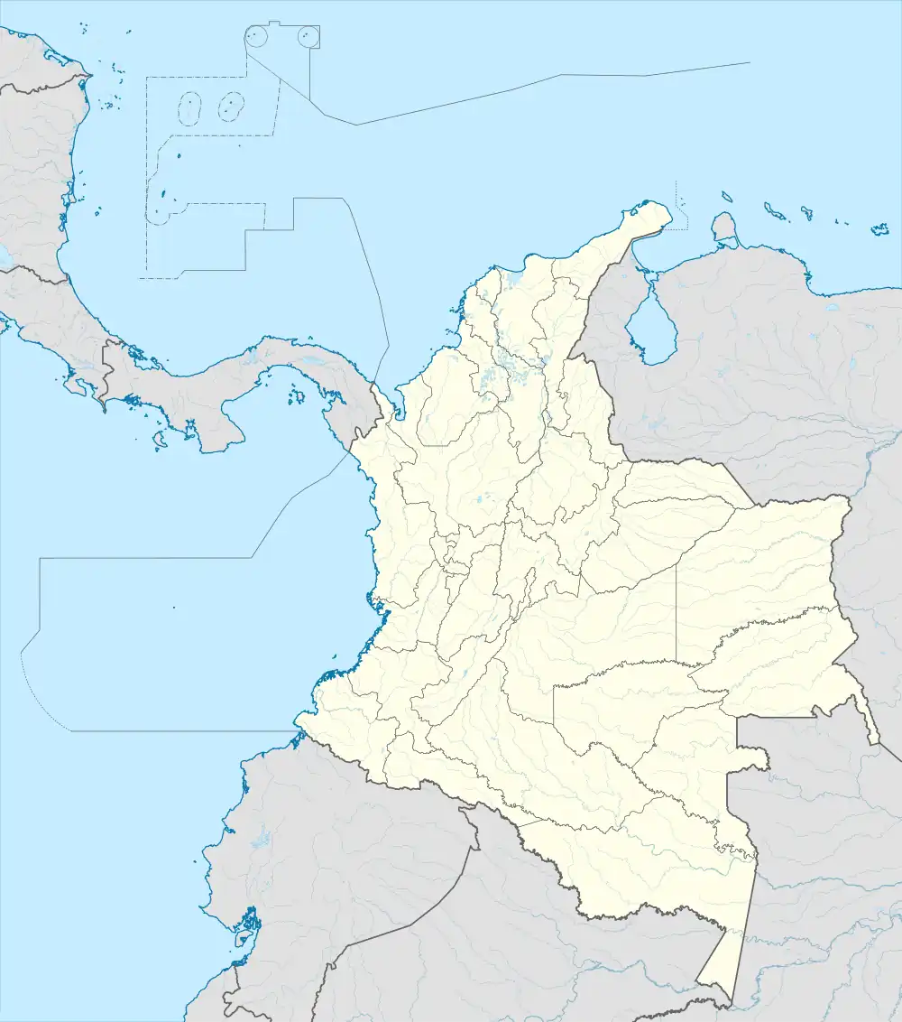
 SKGY Location of the airport in Colombia | |||||||||||||||
| Runways | |||||||||||||||
| |||||||||||||||
Guaymaral Airport (ICAO: SKGY) is a high-elevation airport in the north of Bogotá, Colombia, also serving the towns of Cota and Chía. The runway is 15 kilometres (9.3 mi) northeast of Bogota's El Dorado International Airport.
Overview
The airport primarily handles general aviation, flight school and executive flights traffic. It is the base for private and commercial pilot training schools Aeroandes and Aeroclub de Colombia.[3][4] There are hills east and west of the airport. The parallel grass Runway 11R/29L is the longer, but is unmarked.
See also
References
- ↑ Airport information for SKGY at Great Circle Mapper.
- ↑ "Guaymaral Flaminio S Airport". SkyVector. Retrieved 28 March 2019.
- ↑ Aeroandes Spanish
- ↑ Aeroclub de Colombia Spanish
External links
This article is issued from Wikipedia. The text is licensed under Creative Commons - Attribution - Sharealike. Additional terms may apply for the media files.