Tres de Mayo Airport Aeropuerto Tres de Mayo | |||||||||||
|---|---|---|---|---|---|---|---|---|---|---|---|
 | |||||||||||
| Summary | |||||||||||
| Airport type | Public | ||||||||||
| Location | Puerto Asís, Colombia | ||||||||||
| Elevation AMSL | 815 ft / 248 m | ||||||||||
| Coordinates | 0°30′20″N 76°30′03″W / 0.50556°N 76.50083°W | ||||||||||
| Map | |||||||||||
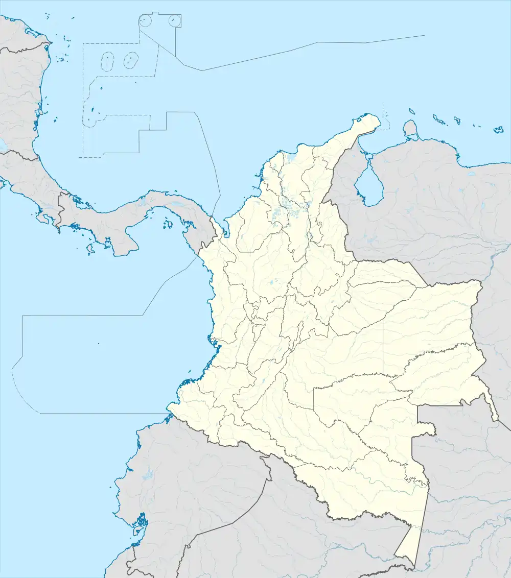 PUU Location of airport in Colombia | |||||||||||
| Runways | |||||||||||
| |||||||||||
Tres de Mayo Airport (IATA: PUU, ICAO: SKAS) is an airport serving the city of Puerto Asís in the Putumayo District of Colombia.
Runway 01 has a 140 metres (460 ft) displaced threshold. The Puerto Asis non-directional beacon (Ident: SIS) is located on the field.[3]
Airlines and destinations
| Airlines | Destinations |
|---|---|
| SATENA | Bogota, Cali, Ipiales, Puerto Leguízamo |
See also
References
- ↑ Airport information for PUU at Great Circle Mapper.
- ↑ Google Maps - Puerto Asis
- ↑ Puerto Asis NDB
External links
- OpenStreetMap - Puerto Asis
- OurAirports - Puerto Asis
- SkyVector - Puerto Asis
- FallingRain - Puerto Asis Airport
- Accident history for PUU at Aviation Safety Network
- Current weather for SKAS at NOAA/NWS
This article is issued from Wikipedia. The text is licensed under Creative Commons - Attribution - Sharealike. Additional terms may apply for the media files.