Heinsburg | |
|---|---|
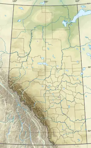 Heinsburg Location of Heinsburg 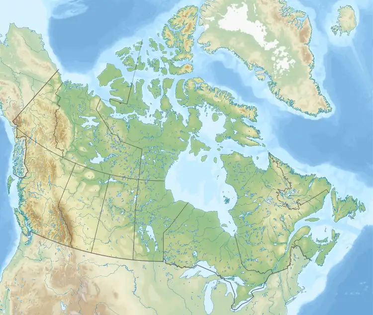 Heinsburg Heinsburg (Canada) | |
| Coordinates: 53°46′03″N 110°31′18″W / 53.76750°N 110.52167°W | |
| Country | Canada |
| Province | Alberta |
| Region | Central Alberta |
| Census division | 12 |
| Municipal district | County of St. Paul No. 19 |
| Government | |
| • Type | Unincorporated |
| • Governing body | County of St. Paul No. 19 Council |
| Population (1991)[1] | |
| • Total | 60 |
| Time zone | UTC−07:00 (MST) |
| • Summer (DST) | UTC−06:00 (MDT) |
| Area code(s) | 780, 587, 825 |
Heinsburg is a hamlet in central Alberta, Canada within the County of St. Paul No. 19.[2] It is located approximately 21 kilometres (13 mi) north of Highway 45 and 66 kilometres (41 mi) northwest of Lloydminster.
John Heins, an early postmaster, gave the community his last name.[3]
Demographics
Heinsburg recorded a population of 60 in the 1991 Census of Population conducted by Statistics Canada.[1]
See also
References
- 1 2 "91 Census: Unincorporated Places — Population and Dwelling Counts" (PDF). Statistics Canada. June 1993. Retrieved September 25, 2021.
- ↑ "Specialized and Rural Municipalities and Their Communities" (PDF). Alberta Municipal Affairs. January 12, 2022. Retrieved January 21, 2022.
- ↑ Place-names of Alberta. Ottawa: Geographic Board of Canada. 1928. p. 64.
This article is issued from Wikipedia. The text is licensed under Creative Commons - Attribution - Sharealike. Additional terms may apply for the media files.