Iron Springs | |
|---|---|
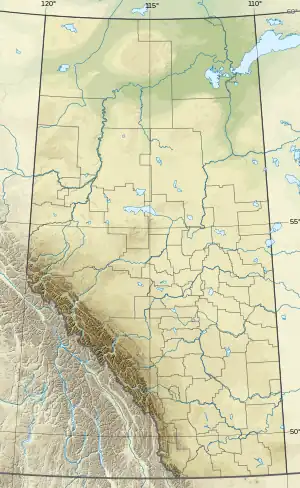 Iron Springs Location of Iron Springs 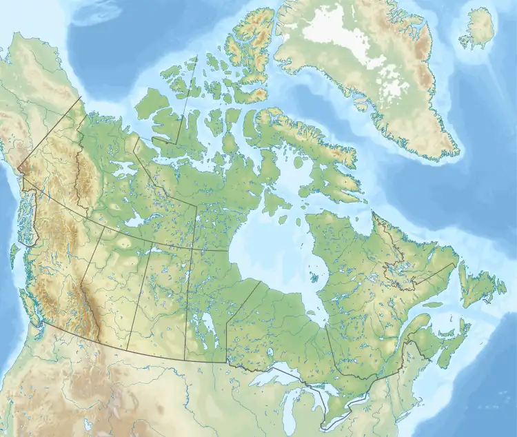 Iron Springs Iron Springs (Canada) | |
| Coordinates: 49°55′48″N 112°41′15″W / 49.93000°N 112.68750°W | |
| Country | Canada |
| Province | Alberta |
| Region | Southern Alberta |
| Census division | 2 |
| Municipal district | Lethbridge County |
| Government | |
| • Type | Unincorporated |
| • Governing body | Lethbridge County Council |
| Area (2021)[1] | |
| • Land | 0.26 km2 (0.10 sq mi) |
| Population (2021)[1] | |
| • Total | 84 |
| • Density | 325.7/km2 (844/sq mi) |
| Time zone | UTC−07:00 (MST) |
| • Summer (DST) | UTC−06:00 (MDT) |
| Area code(s) | 403, 587, 825 |
Iron Springs is a hamlet in southern Alberta, Canada within the Lethbridge County.[2] It is located on Highway 25, approximately 28 kilometres (17 mi) northeast of Lethbridge. It was founded in 1925 when the railroad arrived.[3] The community was named after a spring of the same name near the original town site.[4]
Demographics
In the 2021 Census of Population conducted by Statistics Canada, Iron Springs had a population of 84 living in 24 of its 26 total private dwellings, a change of -13.4% from its 2016 population of 97. With a land area of 0.26 km2 (0.10 sq mi), it had a population density of 323.1/km2 (836.8/sq mi) in 2021.[1]
As a designated place in the 2016 Census of Population conducted by Statistics Canada, Iron Springs had a population of 97 living in 25 of its 26 total private dwellings, a change of 4.3% from its 2011 population of 93. With a land area of 0.26 km2 (0.10 sq mi), it had a population density of 373.1/km2 (966.3/sq mi) in 2016.[5]
See also
References
- 1 2 3 "Population and dwelling counts: Canada and designated places". Statistics Canada. February 9, 2022. Retrieved February 10, 2022.
- ↑ "Specialized and Rural Municipalities and Their Communities" (PDF). Alberta Municipal Affairs. January 12, 2022. Retrieved January 21, 2022.
- ↑ Coyote Flats Historical Society (1967). Coyote Flats : historical review, 1905-1965. Volume 1. Lethbridge: Southern Printing. p. 269.
- ↑ Place-names of Alberta. Ottawa: Geographic Board of Canada. 1928. p. 68.
- ↑ "Population and dwelling counts, for Canada, provinces and territories, and designated places, 2016 and 2011 censuses – 100% data (Alberta)". Statistics Canada. February 8, 2017. Retrieved February 13, 2017.