Rainier | |
|---|---|
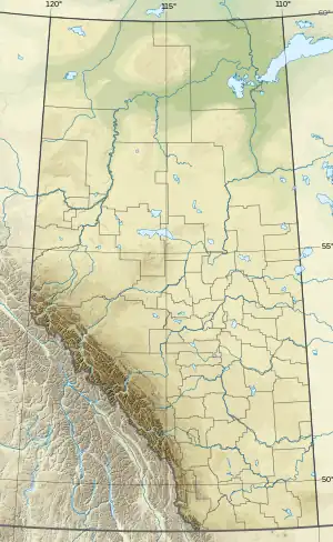 Rainier Location of Rainier 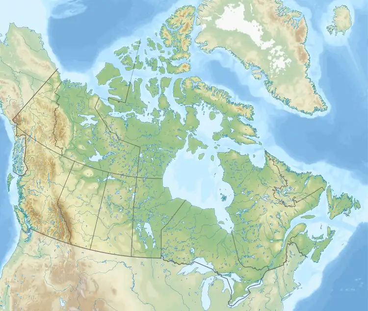 Rainier Rainier (Canada) | |
| Coordinates: 50°22′06″N 112°05′33″W / 50.36833°N 112.09250°W | |
| Country | Canada |
| Province | Alberta |
| Region | Southern Alberta |
| Census division | 2 |
| Municipal district | County of Newell |
| Government | |
| • Type | Unincorporated |
| • Governing body | County of Newell Council |
| Population (2020)[1] | |
| • Total | 22 |
| Time zone | UTC−07:00 (MST) |
| • Summer (DST) | UTC−06:00 (MDT) |
| Area code(s) | 403, 587, 825 |
Rainier is a hamlet in southern Alberta, Canada within the County of Newell.[2] It is located 5 kilometres (3.1 mi) west of Highway 36 and approximately 26 kilometres (16 mi) southwest of Brooks.
Demographics
The population of Rainier according to the 2020 municipal census conducted by the County of Newell is 22.[1]
See also
References
- 1 2 "Municipal Census Report 2020". County of Newell. p. 3. Retrieved September 25, 2021.
- ↑ "Specialized and Rural Municipalities and Their Communities" (PDF). Alberta Municipal Affairs. January 12, 2022. Retrieved January 21, 2022.
This article is issued from Wikipedia. The text is licensed under Creative Commons - Attribution - Sharealike. Additional terms may apply for the media files.