| Henry Hill | |
|---|---|
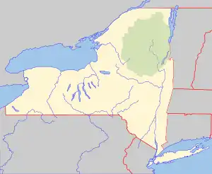
 Henry Hill Location of Henry Hill within New York  Henry Hill Henry Hill (the United States) | |
| Highest point | |
| Elevation | 2,162 feet (659 m) |
| Listing | New York County High Points 25th |
| Coordinates | 42°32′58″N 74°11′52″W / 42.5495213°N 74.1979138°W[1] |
| Geography | |
| Location | SE of Huntersland, New York, U.S. |
| Topo map | USGS Rensselaerville |
Henry Hill is a mountain in the town of Berne in Albany County, New York. It is located southeast of Huntersland. It is directly south of the Partridge Run State Forest. Cook Hill is located northwest and Garver Hill is located west-southwest of Henry Hill. Henry Hill is the tallest point in Albany County and it is ranked 25 of 62 on the list of New York County High Points.
References
- ↑ "Henry Hill". Geographic Names Information System. United States Geological Survey, United States Department of the Interior. Retrieved 2018-04-05.
This article is issued from Wikipedia. The text is licensed under Creative Commons - Attribution - Sharealike. Additional terms may apply for the media files.